Is Wind Gap in Dinosaur Ridge the former Course of Mount Vernon Creek?
June 13, 2018
Organized by Beth Simmons
Florissant Scientific Society and Colorado Scientific Society
After the April 15, 2018 field trip on “Front Range Pleistocene Geomorphology and Mysterious Gravel Deposits”, we wanted to examine the saddle in the Dakota Hogback, aka. Dinosaur Ridge, that Cal Ruleman identified as the probable prior course of Mount Vernon Creek. We were especially looking for Precambrian rocks in the deposits in the saddle and any evidence related to Pleistocene glaciation.
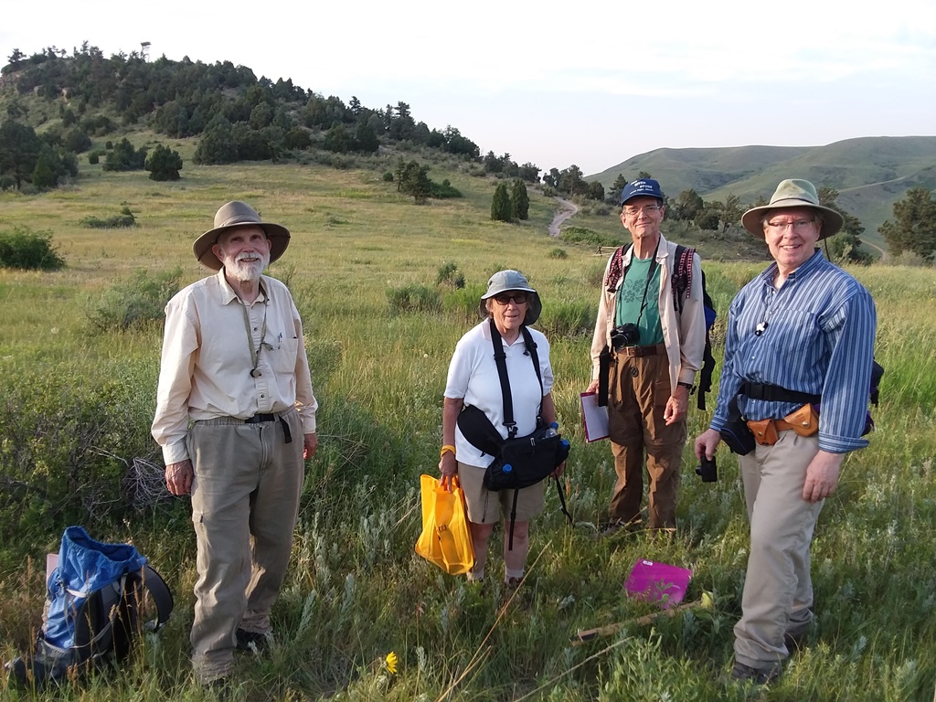
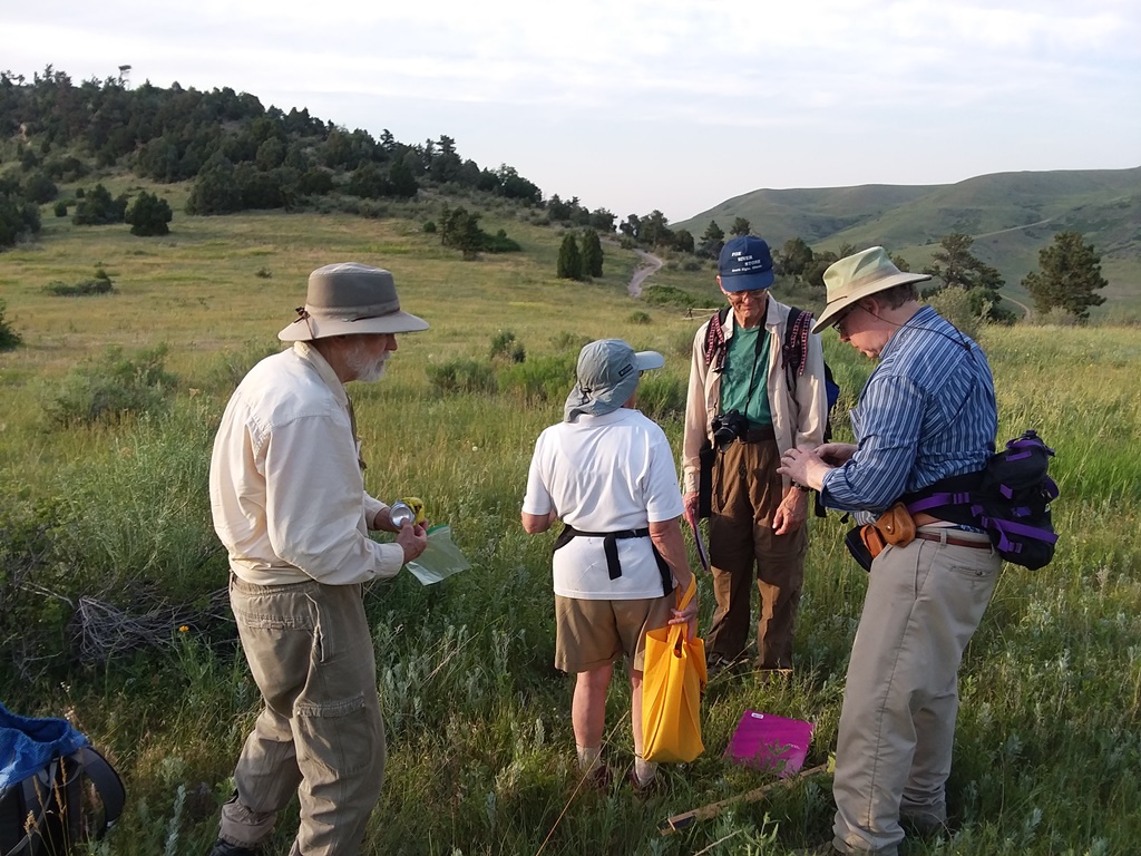
Beth Simmons, Pete Modreski, Robert Johnson, Craig Banister, and Chris Morrison participated. The photos here have the initials of the person who took at the end of the name.
Note: When the original pictures were over 1 MB, a smaller version is displayed here followed by a link to the full size picture, with its size in megabytes.
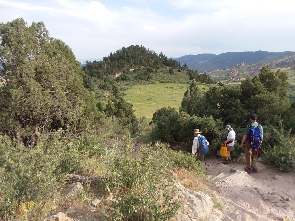
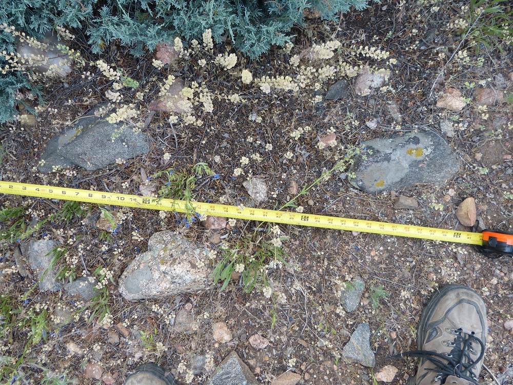
The wind gap is a saddle in the Dakota hogback about halfway between where I-70 and West Alameda Pkwy cross the ridge. There is a small meadow in the bottom of the saddle.

Left to right: Chris Morrison, Robert Johnson, Beth Simmons, and Pete Modreski (photo by Craig Banister).
Wind gap meadow from the northeast – full size (4.3 MB)
Robert Johnson has many more pictures of our field trip. See them at: FSS Wind Gap on Dakota Ridge 6/12/2018
Geologic Map
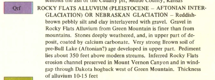
The USGS geologic map of the Morrison quad. by Glenn Scott shows the meadow as Qrf or Rocky Flats alluvium.
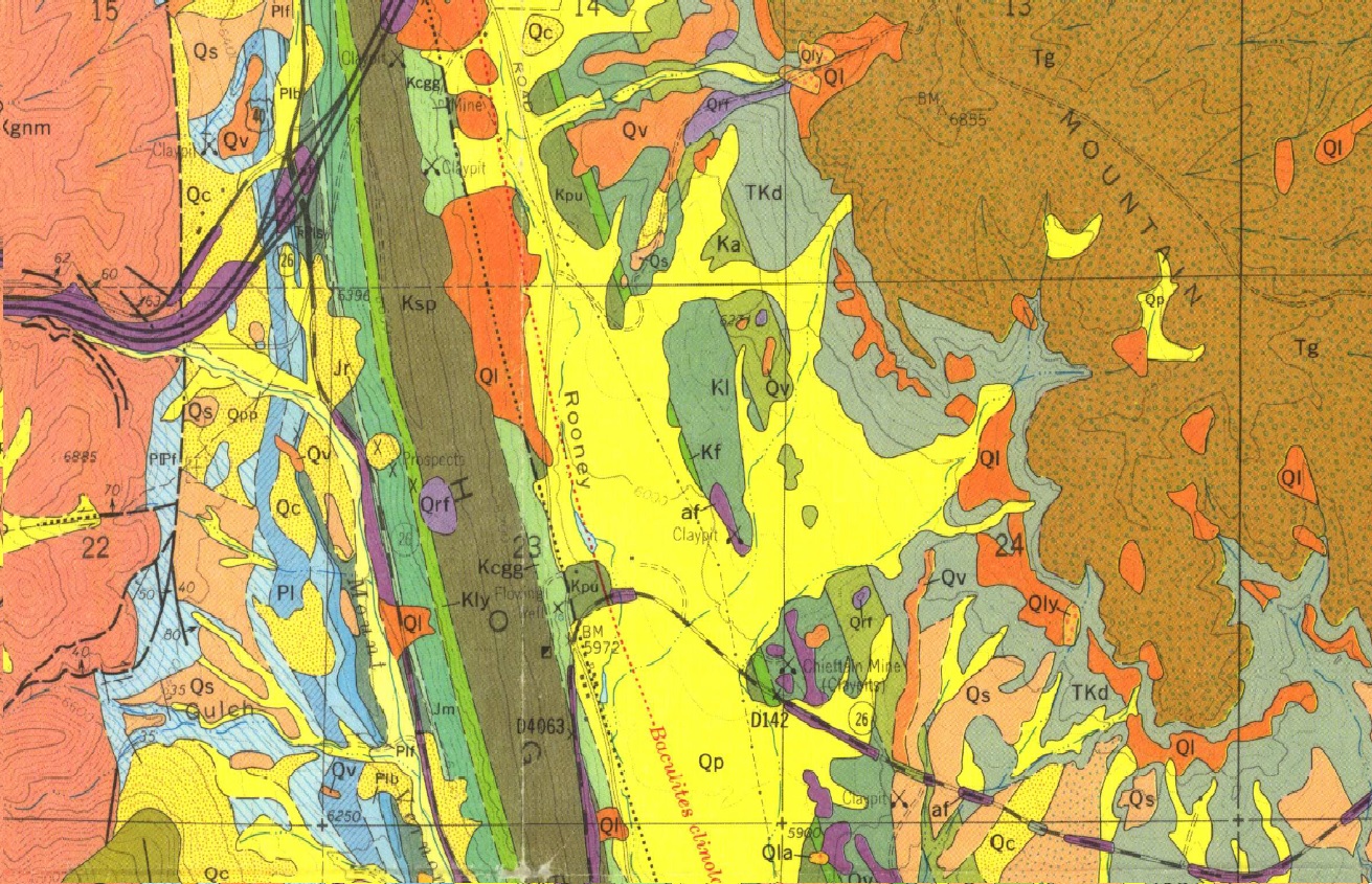
Download the entire USGS Geologic Map of the Morrison quad (10.6 MB)
What we found
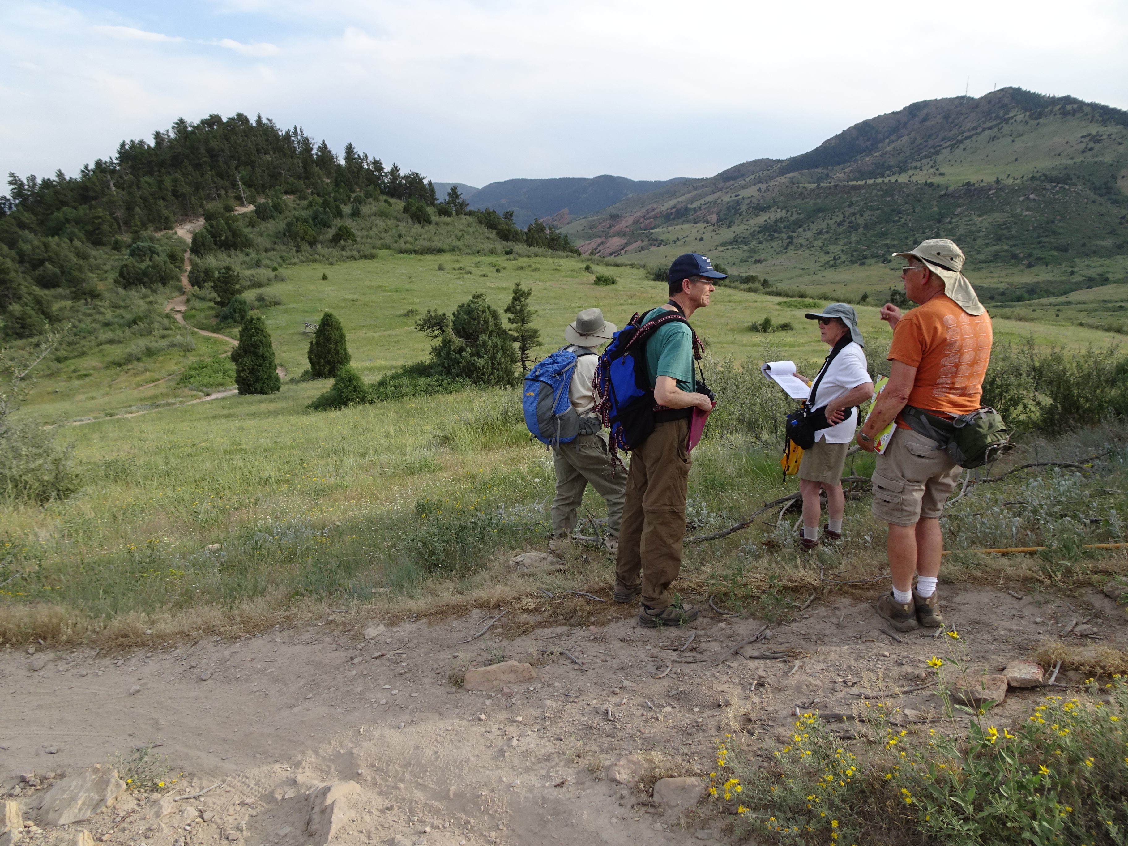
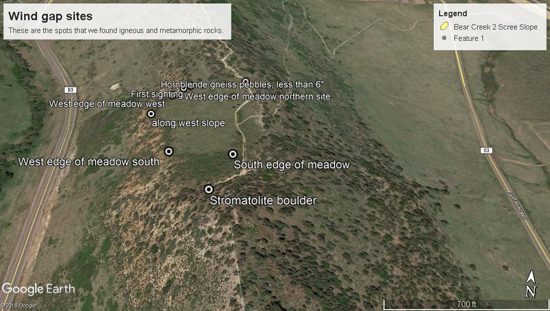
Beth Simmons organized this field trip, and five people from the Colorado Scientific Society and the Florissant Scientific Society attended. We parked in the Stegosaurus Lot on the southwest side of I-70 and the Dakota hogback, and followed the Dakota Ridge Trail up to the top of the ridge and then south to the wind gap. Before we reached the wind gap, Precambrian rocks were very rare along the ridge.
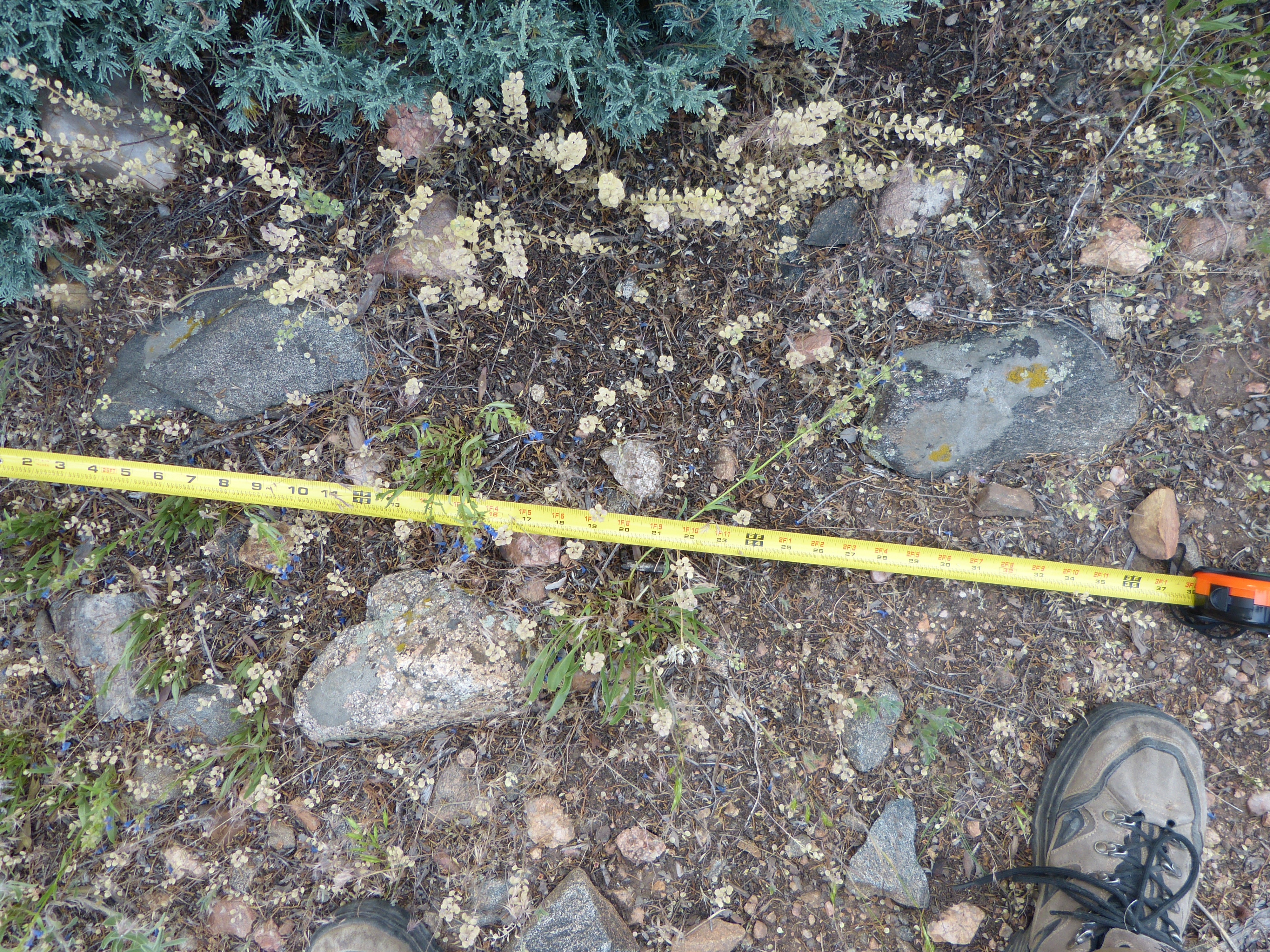
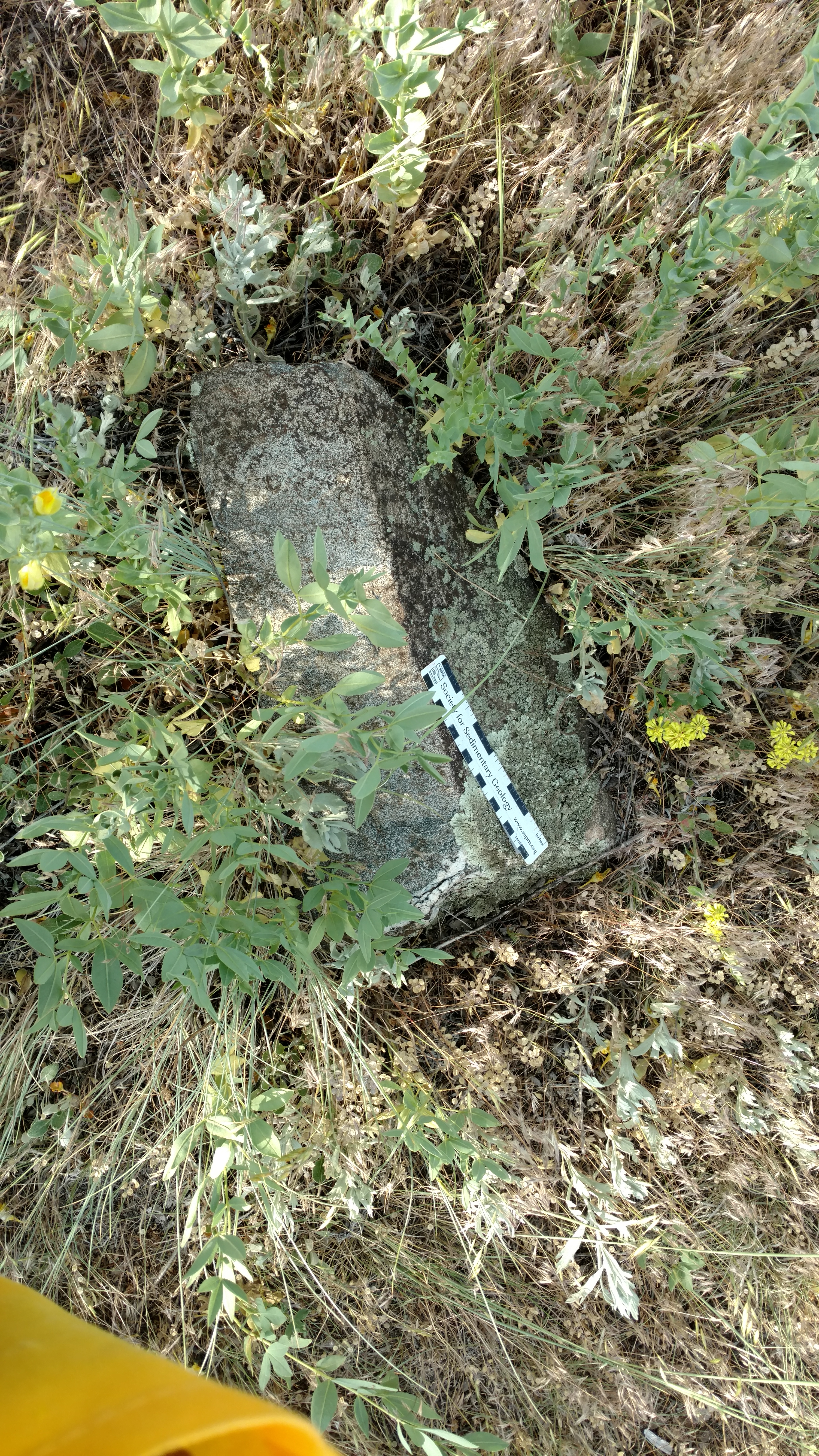
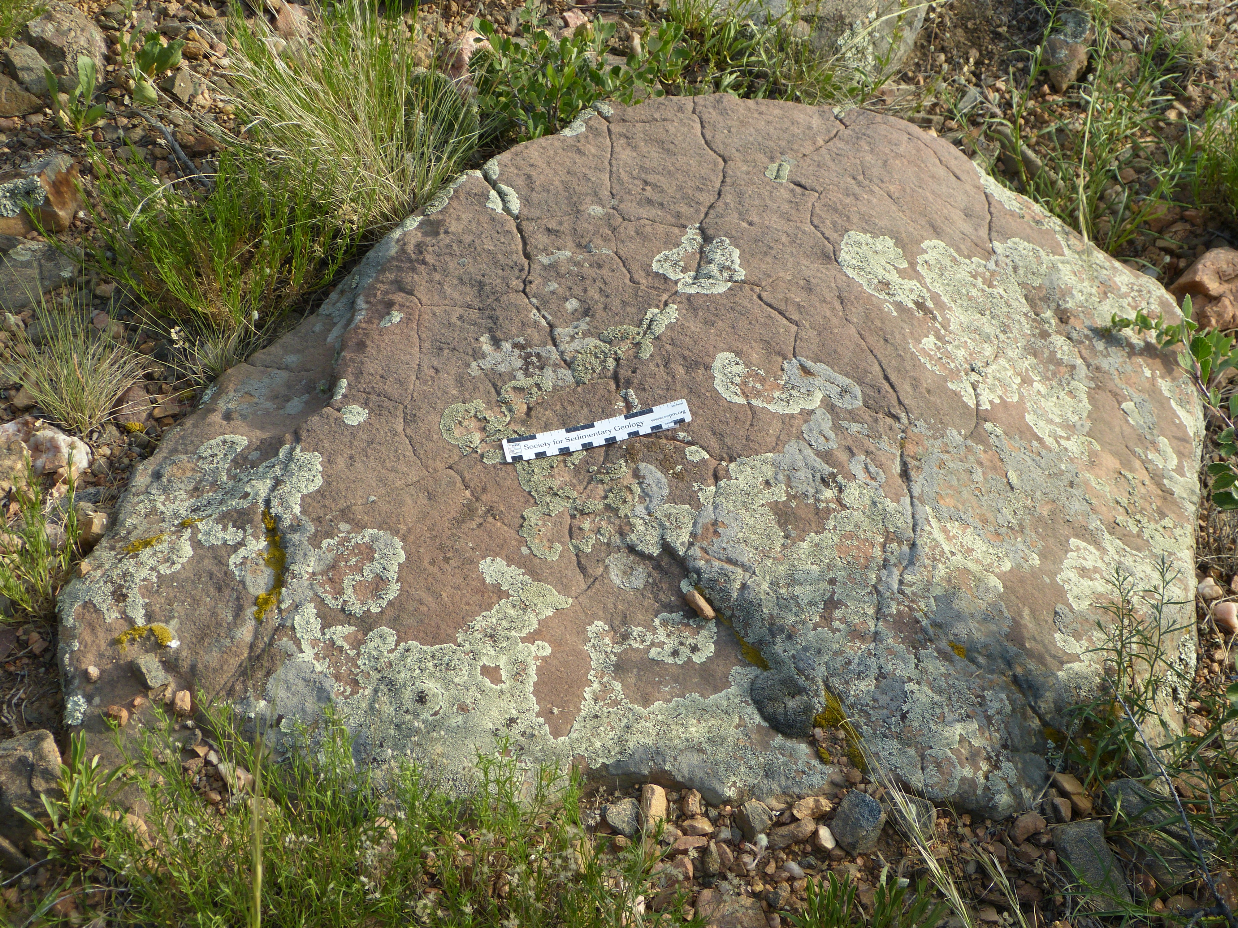
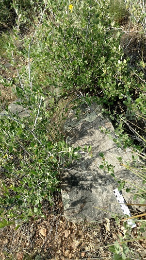
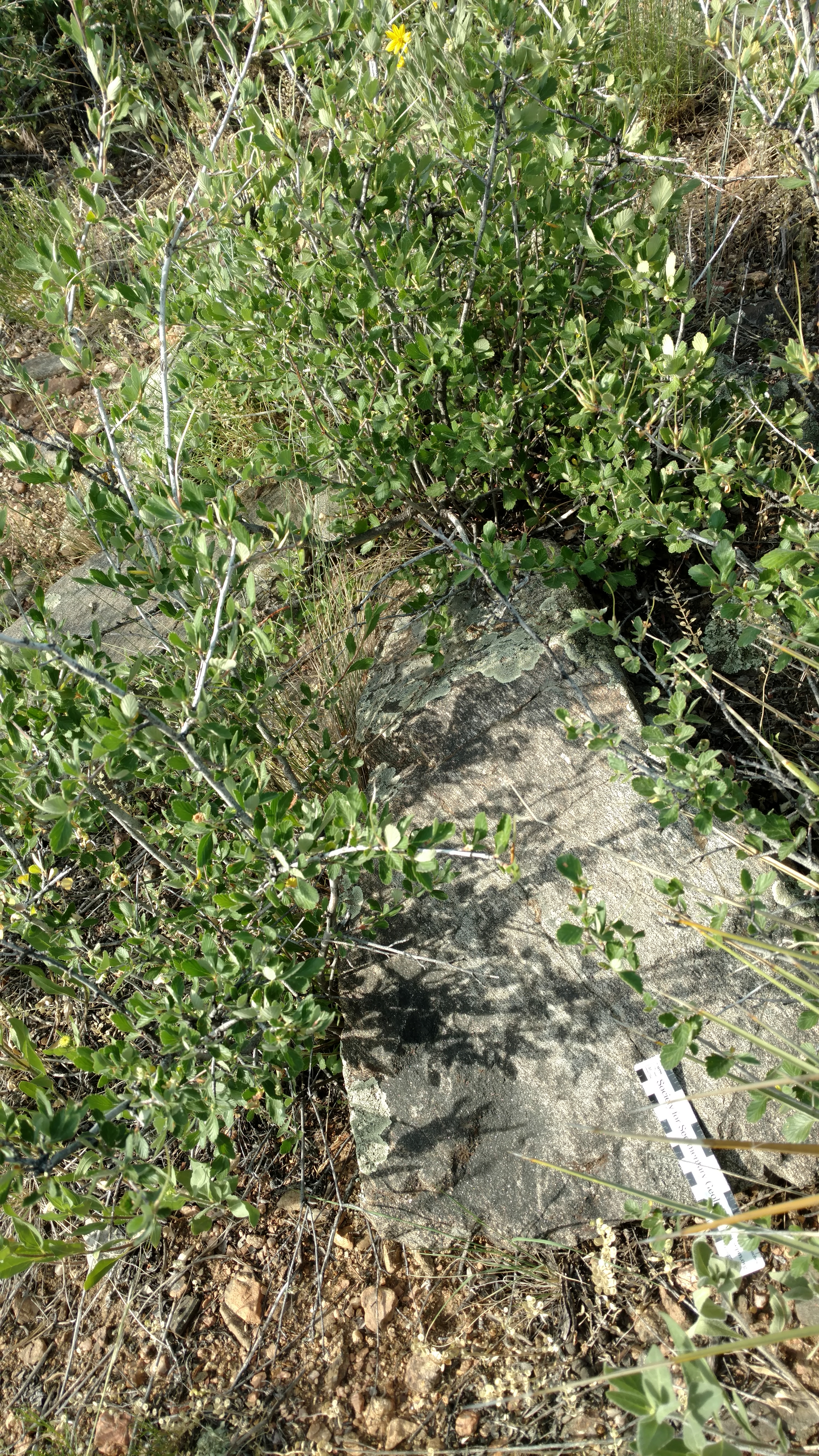
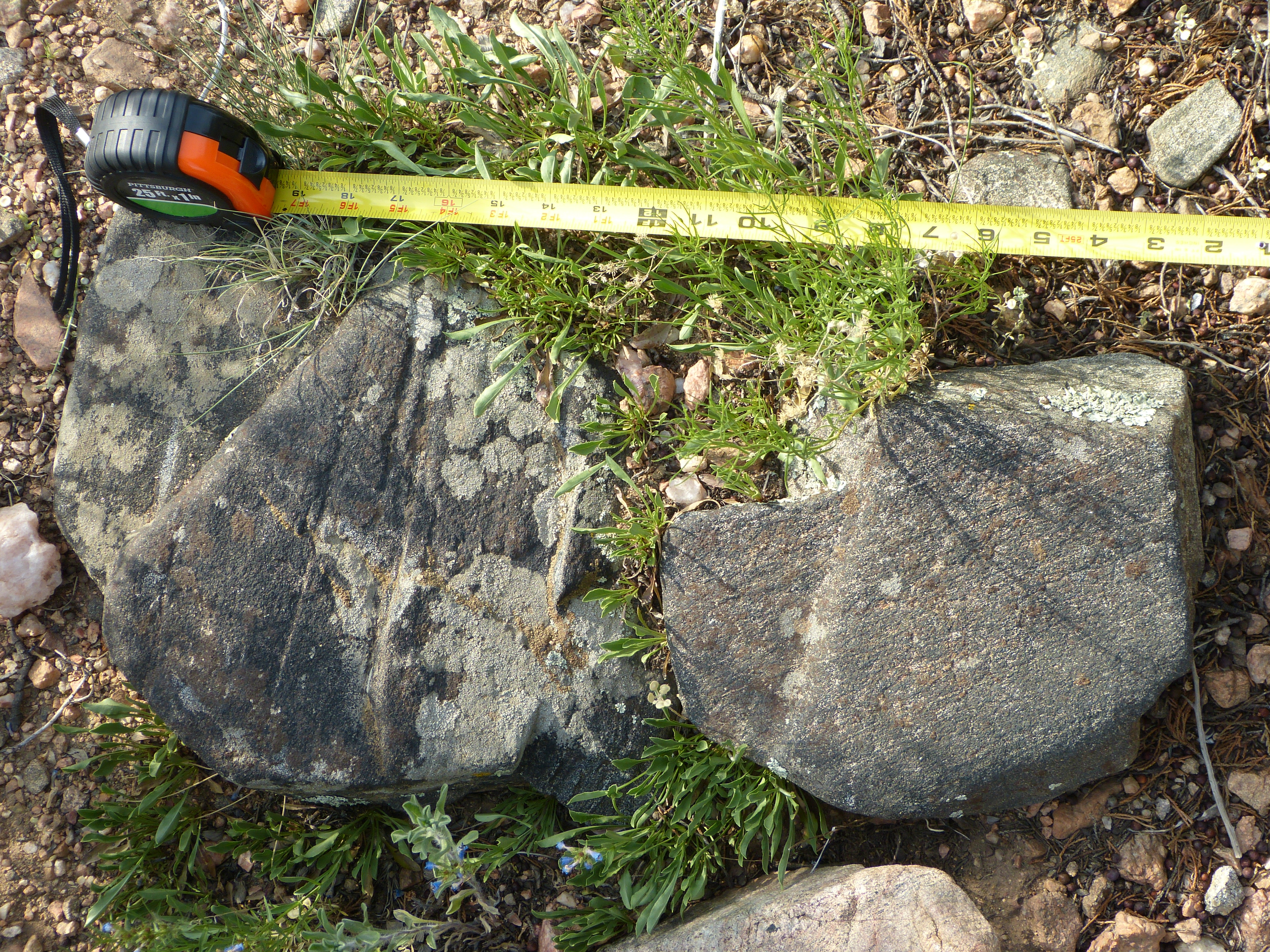
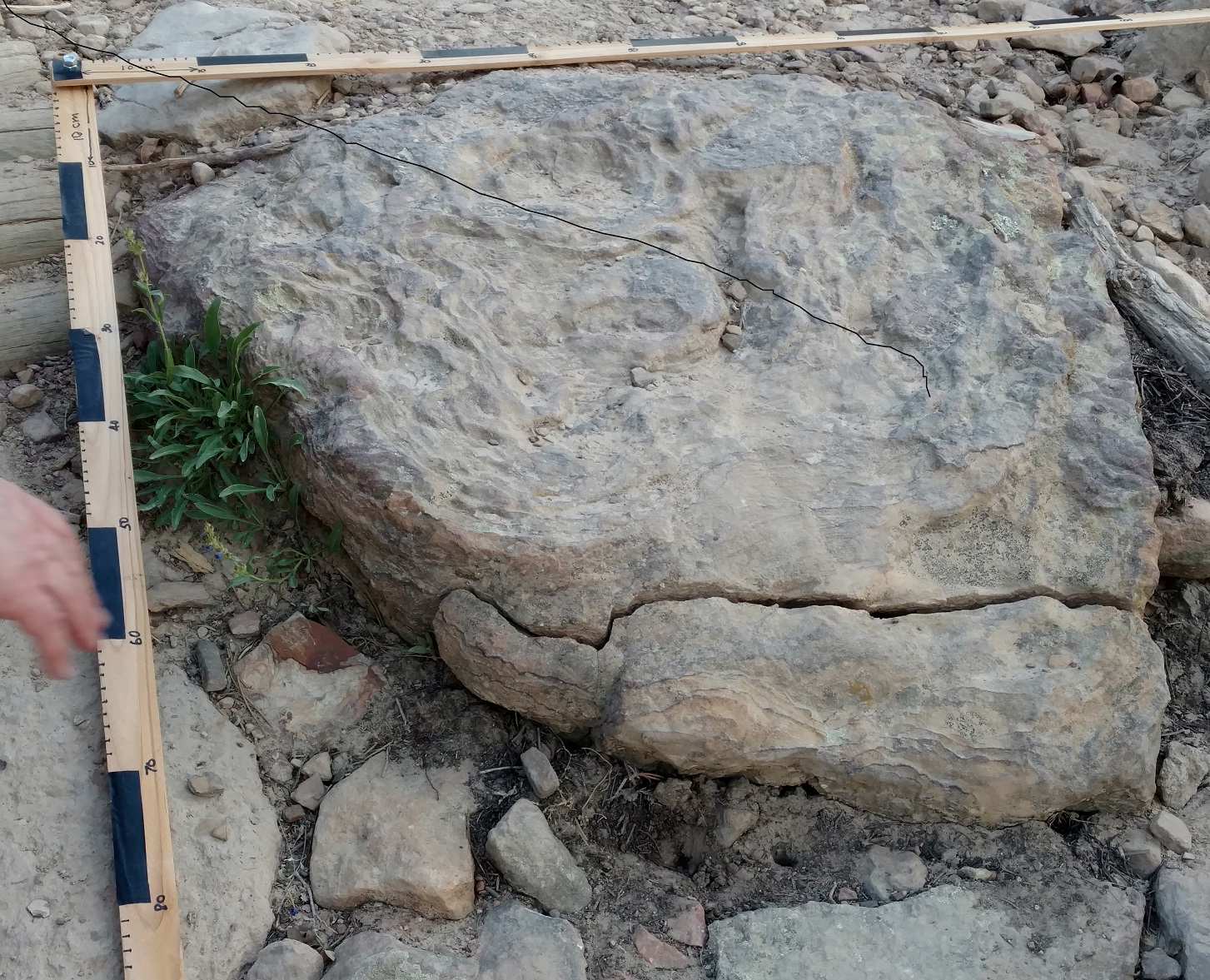
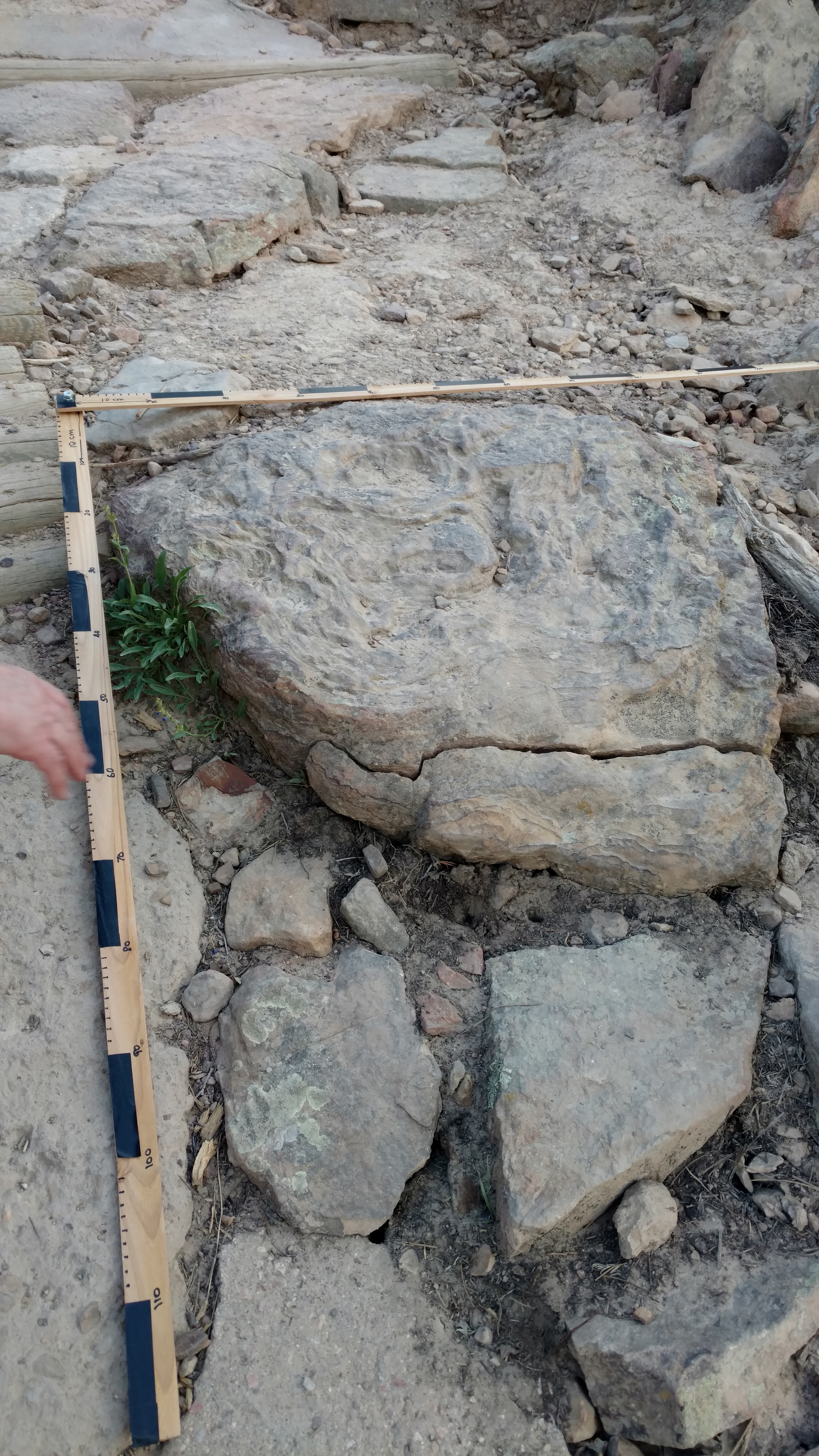
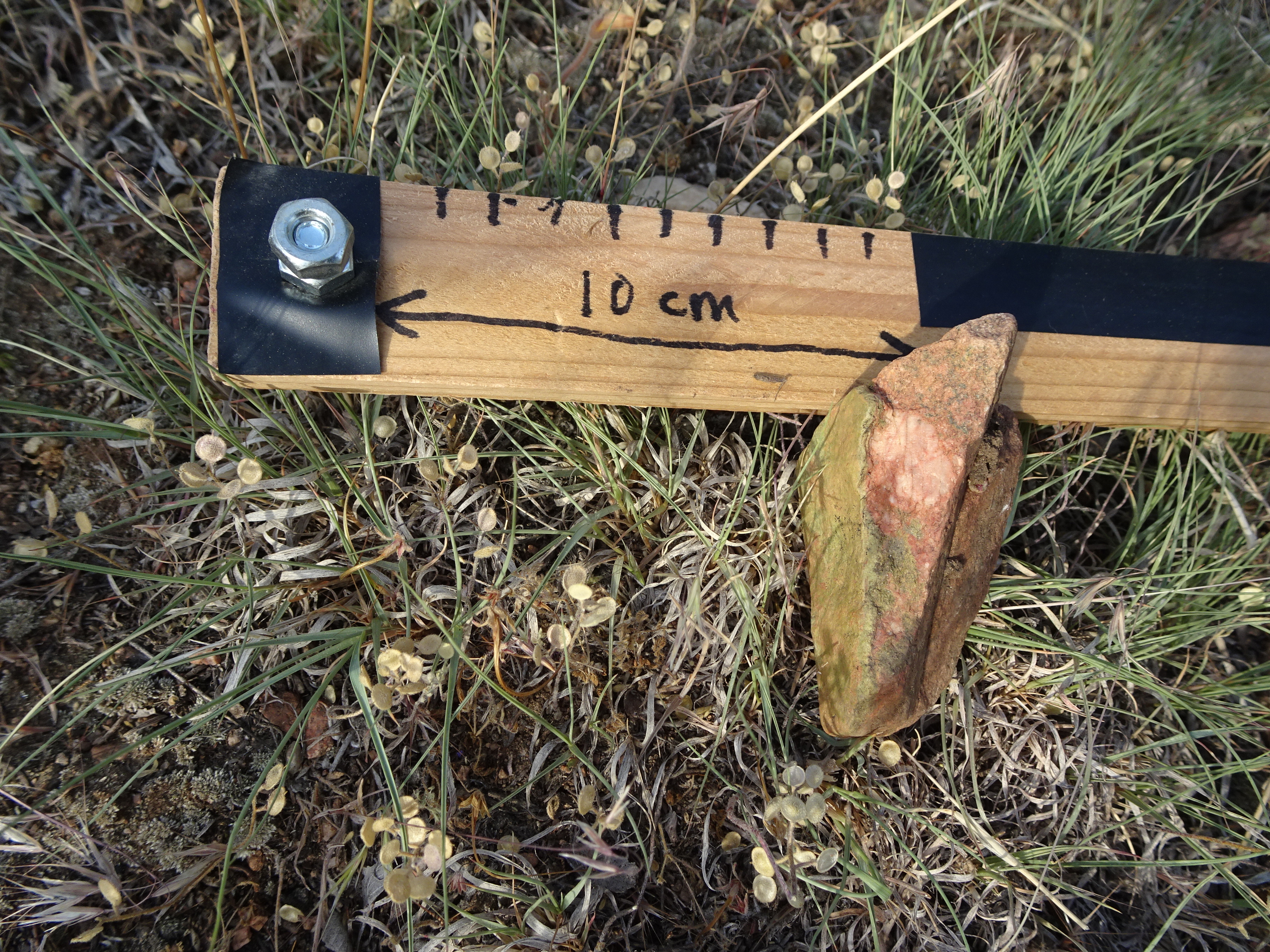
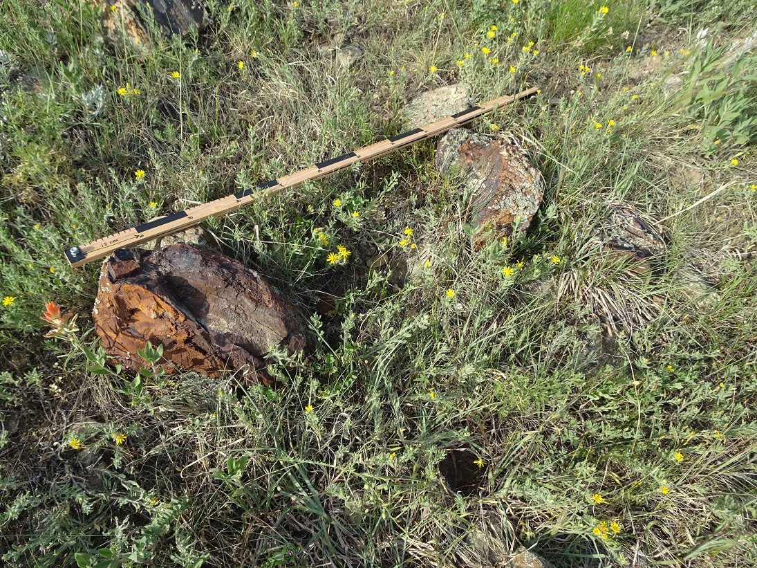
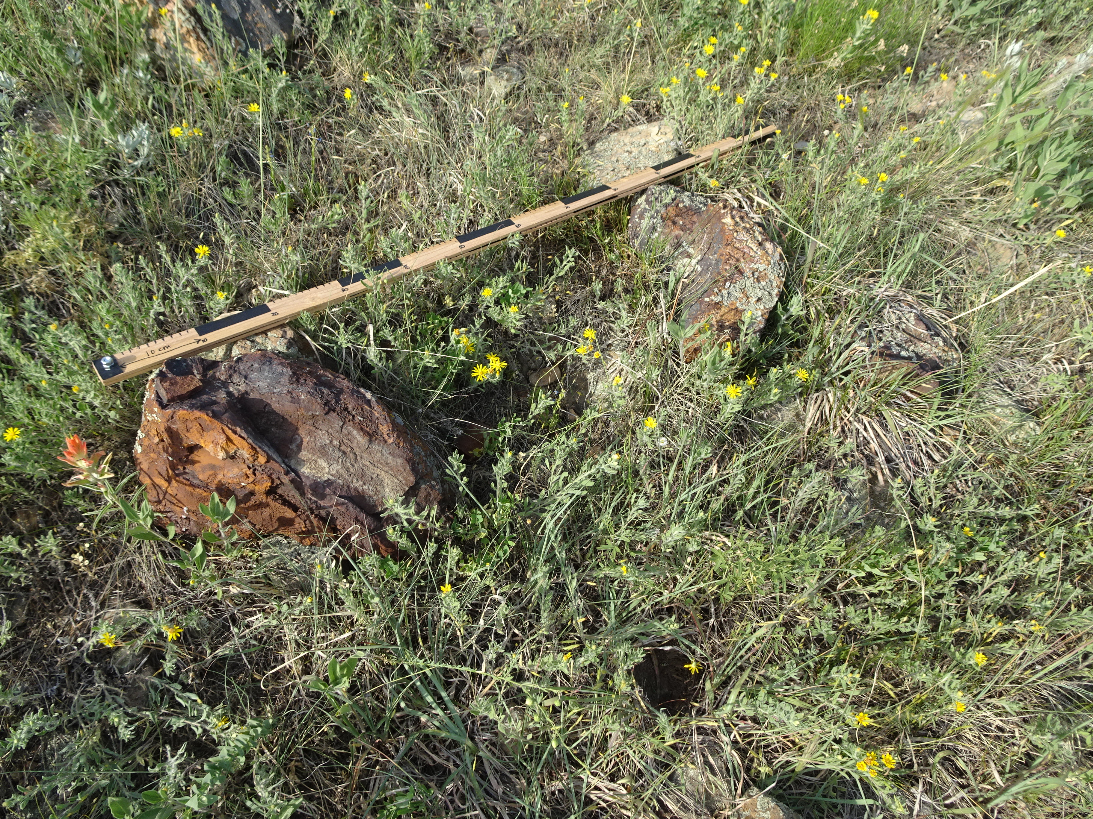
As we descended to the meadow we started finding Precambrian schists along the trail as we neared the meadow. We left the trail and explored the north, west, and south sides of the meadow. (In the meadow itself, soil and vegetation usually covered exposures of the underlying alluvium and bedrock.) Boulders and gravel from the Precambrian were common, as evidenced by these pictures. Most boulders were no larger than one or two feet in diameter. An exception was the “big brown blobby boulder” that we found beyond the southwest corner of the meadow.
Rocks at edge of meadow, (4.8 MB)
Aplite along west slope (8.8 MB)
Diorite along west slope (9.5 MB)

Big brown blobby boulder on southwest side of meadow (4.8 MB)
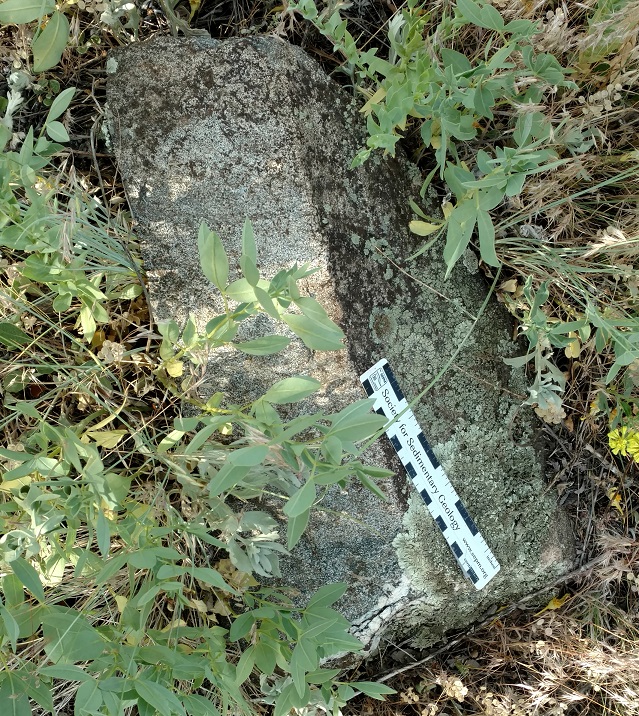
Hornblende gneiss at south edge of meadow (9.9 MB)

Boulders along edge of meadow (5 MB)
Other Finds
We found what might be a stromatolite in the trail just south of the meadow.
possible Stromatolite (6.2 MB)

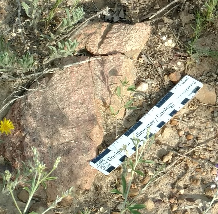
red granite with epidote (4.1 MB)
Goethite boulders on north edge of meadow (4.4 MB)
Conclusions
Wind gap is former course of Mount Vernon Creek
The presence of mainly Precambrian boulders and gravels in the wind gap argue for it being the former course of Mount Vernon Creek before it was captured by erosion along the Lykins and other softer beds between the Dakota hogback and the Fountain and Precambrian to the west. There has been at least 200 feet of incision on the west side and 400 feet on the east side of the Dakota hogback since Mount Vernon Creek last flowed through the gap.
Pete Modreski stated, after going back to look at the wind gap again:
“My observation, the rock types–mostly dark hornblende gneiss, lesser amount of pink pegmatitic granite, are really just about the same as one sees in the big rip-rap size boulders all around town that have been quarried at, well, either the Heritage Square quarry or the one up by US6-Clear Creek&I-70, and I suppose the quarry by Morrison as well. So I’d conclude from this, we don’t need to look any further than these first ridges of the Front Range here, for the source of these transported rocks.
Pete”
Glaciation?
Evidence of glaciation in this area is harder to find.
The “big brown blobby boulder” was the biggest one found. Ancient Mount Vernon Creek in flood should have been able to move it.