CSS Spring Field Trip, Sunday, May 19, 2019
Denver Basin Geology and Its Rich Cultural, Mining, and Industrial History
This was a one-day field trip with stops relating cultural, mining, and industrial exploration and discovery to the geologic and Pleistocene geomorphic evolution of the western margin of the Denver Basin.
LEADERS: Mark Mitchell (Paleocultural Research Group), Jason McGraw (General Shale), Donna Anderson (Colorado School of Mines), and David Lindsey (U.S. Geological Survey, Emeritus)
Organized by Tom Casadevall (U.S. Geological Survey, Emeritus).
Denver Basin Geology and its Rich Cultural, Mining, and Industrial History
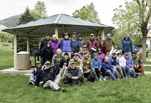
Lunch Stop at New Loveland Mine Park above Golden
The trip included visits to:
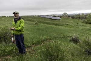
Magic Mountain Paleo Indian archeological site, Denver Museum of Nature and Science and the Paleocultural Research Group.
This has been in the news because of recent excavations by the Denver Museum of Nature and Science.
Mark Mitchell shared his findings of the site’s geology, stratigraphy, Carbon-14 dates, and habitation history.
Chieftain mine (General Shale, formerly Robinson Brick Company) clay pit on West Alameda Parkway; Jason McGraw of General Shale led a tour focused on industrial minerals geology. This included how specific clay layers are mined to make bricks with different properties. Hard hats were not required but closed-toe shoes were.
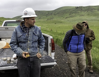
The White Ash and Loveland Mines, Golden; Donna Anderson, Affiliate faculty, Colorado School of Mines described the geology under Golden, the importance of coal mining, and how it led to the White Ash coal mine disaster. This was the lunch stop.
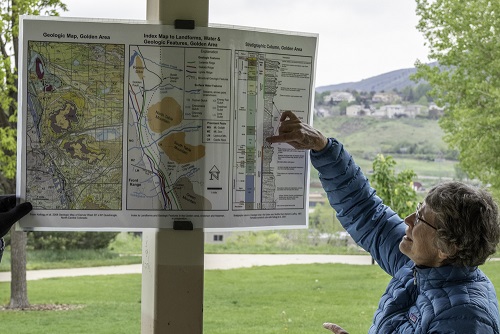
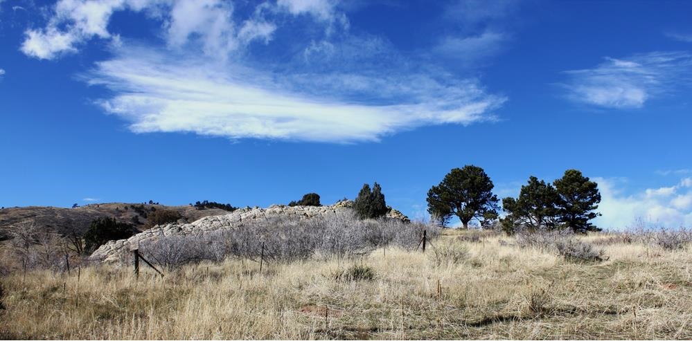
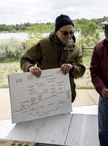
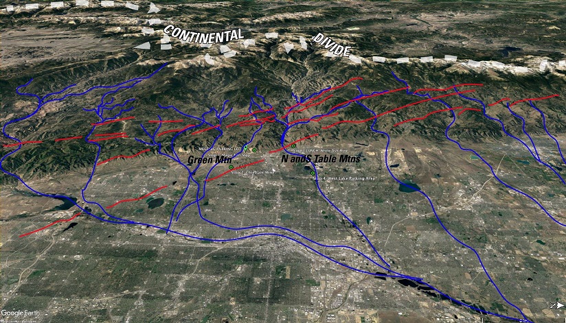
Clear Creek geology and Quaternary geology of the South Platte Basin; at West Lake parking area on Clear Creek on the east side of Youngfield St., south of 42nd Ave. Dave Lindsey discussed how Clear Creek Pliocene-Pleistocene stratigraphy and geomorphic relationships are related to the Quaternary geology of the South Platte basin and incision history of Clear Creek.
You may be interested in USGS Professional Paper 1705, published in 2005, “Stratigraphy, Lithology, and Sedimentary Features of Quaternary Alluvial Deposits of the South Platte River and Some of its Tributaries East of the Front Range, Colorado”, by David A. Lindsey, William H. Langer, and Daniel H. Knepper, Jr., 70 p.
This Professional Paper was still available in printed copy from the USGS; at latest check, there were 130 copies in stock. You can order a copy online via the “USGS Store” (USGS does not any longer have an over-the-counter actual store from which to purchase maps or publications) at https://store.usgs.gov/; look for product #205643. The cost of PP 1705 is $16, plus there is a single $5 service charge for the full content of any order. If you have difficulty placing an order online, you may also do so by calling 1-888-ASK-USGS (1-888-275-8747). Orders are delivered by U.S. Mail. — PJM