Talks at Colorado Scientific Society Meetings in 2024
CSS January 2024 Meeting
The US Geological Survey National Seismic Hazard Model
Thursday, January 18, 2024 at 7:00 p.m.
Allison M. Shumway, U.S. Geological Survey
This meeting was held at Calvary Church Golden.
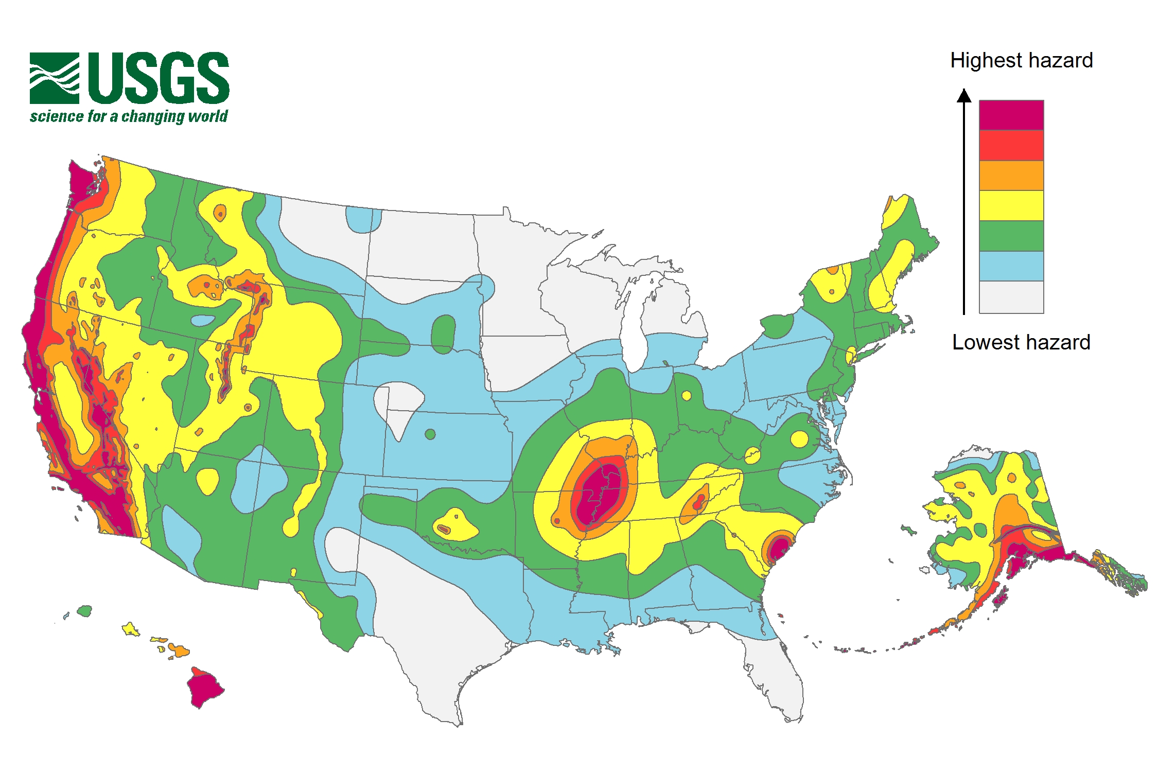
Abstract: The U.S. National Seismic Hazard Model (NSHM) was updated in 2023 for all 50 states using new science on seismicity, fault ruptures, ground motions, and probabilistic techniques to produce a standard of practice for public policy and other engineering applications (defined for return periods greater than ~475 or less than ~10,000 years). Changes in 2023 time independent seismic hazard (both increases and decreases compared to previous NSHMs) are substantial because the new model considers more data and updated earthquake rupture forecasts and ground motion components. In developing the 2023 model, we tried to apply best available or applicable science based on advice of co-authors, more than 50 reviewers, and hundreds of hazard scientists and end users, who attended public workshops and provided technical inputs. The hazard assessment incorporates new catalogs, declustering algorithms, gridded seismicity models, magnitude-scaling equations, fault-based structural and deformation models, multi-fault earthquake rupture forecast models, semi-empirical and simulation-based ground motion models, and site amplification models conditioned on shear wave velocities of the upper 30 m of soil and deeper sedimentary basin structures. Seismic hazard calculations yield hazard curves at hundreds of thousands of sites, ground motion maps, uniform hazard response spectra, and disaggregations developed for pseudo-spectral accelerations at 21 oscillator periods and two peak parameters, Modified Mercalli Intensity, and 8 site classes required by building codes and other public policy applications. Tests show the new model is consistent with past ShakeMap intensity observations. Sensitivity and uncertainty assessments ensure resulting ground motions are compatible with known hazard information and highlight the range and causes of variability in ground motions. We produce several impact products including building seismic design criteria, intensity maps, planning scenarios, and engineering risk assessments showing the potential physical and social impacts. These applications provide a basis for assessing, planning, and mitigating the effects of future earthquakes.
Website: For more information about the USGS National Seismic Hazard Models, please visit their website: https://www.usgs.gov/programs/earthquake-hazards/hazards.
Bio: Allison Shumway is a research geophysicist at the U.S. Geological Survey (USGS) in Golden, CO where for the last nine years she has worked on seismicity catalog development, seismic source model characterization and implementation, and probabilistic seismic hazard analysis (PSHA) as part of the National Seismic Hazard Model Project. Prior to working at the USGS, she spent seven years working at a geophysical consulting company where she worked on a number of PSHA projects, including for nuclear power plant sites in the U.S. She received her M.S. in Earth Sciences from the University of Memphis in Memphis, TN (at the Center for Earthquake Research and Information) and her B.A. in Geological Sciences at the State University of New York at Geneseo in Geneseo, NY.
=
CSS February Meeting
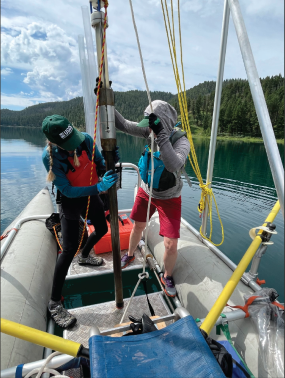
Lacustrine Paleoseismology in the Intermountain West
Thursday, February 15, 2024
Sylvia R. Nicovich,
Mendenhall Fellow|Research Geologist
Geologic Hazards Science Center
U.S. Geological Survey
This meeting was held at Calvary Church Golden.
Abstract: Seismic hazard analysis hinges on the ability to characterize seismic sources, especially active faults. Our understanding of fault activity within the Intermountain West (IMW) relies on paleoseismic trench studies, which are limited to surface-rupturing earthquakes preserved within terrestrial strata that typically represent short-timescales and thus a limited earthquake record. Recently, paleoseismologists have begun exploring lake sediments for evidence of paleoearthquakes, as lacustrine systems commonly offer long-timescale and largely continuous sedimentation records that have potential to expand earthquake-history observations and refine event timing. Worldwide, many of these studies focus on active faults within the Alpine and Anatolian orogenic belts, where lake records reveal the Holocene history of large ground-shaking events. Within the United States, lacustrine paleoseismology has been centered on the Pacific coast and Alaska, studying the recurrence of subduction-related earthquakes versus crustal faulting. Here, we apply this sub-discipline of earthquake geology to the Intermountain West with an objective to calibrate how lakes record earthquakes in the intraplate environment of North America. We leverage both historical and recognized terrestrial (trench) paleosemic events to corroborate the evidence of ground shaking withing lake systems. Currently, we are documenting the signature of the 1959 M7.3 Hebgen Lake earthquake in multiple lakes around the West Yellowstone region as well as comparing terrestrial earthquake records for the Wasatch Front, Utah, with shaking proxies recorded in the Great Salt Lake. The application of lacustrine paleoseismology to the Intermountain West will not only help to refine event timing uncertainties, but will offer longer records of ground shaking, which present the opportunity to provide more robust parameters for seismic hazard analysis and a greater understanding of intraplate neotectonic behavior.
Sylvia Nicovich is a Mendenhall Research Fellow at the U.S. Geological Survey Geologic Hazards Science Center in Golden, CO studying lacustrine paleoseismology in the Intermountain West. Prior to her Mendenhall assignment, she conducted paleoseismologic investigations for seismic hazard analysis at the Bureau of Reclamation in Lakewood, CO. Sylvia earned a PhD in Geology from Montana State University in 2020 with a dissertation that focused on alluvial fan geomorphic and sedimentary records. She also holds BS and MS degrees from Cal Poly Humboldt, where she studied active faults in the northern California fold and thrust belt.
View Zoom Recording of Lacustrine Paleoseismology in the Intermountain West
Watching this video is best in full screen. (It may sharpen up images.)

No passcode is needed to access this recording. Just click on the video.
Duration: 00:58:41
DISCLAIMER and FAIR-USE STATEMENT: The following Zoom-meeting recording contains content that expresses the opinions, viewpoints, and conclusions of the speakers and does not necessarily reflect the views, policies, or endorsements of the Colorado Scientific Society. This recording is made available to the public for general information and educational purposes only and is not intended to be used for profit. Any use of copyrighted material included therein for other purposes must obtain express written permission from the author.
=
CSS March Meeting
The 2022 Chaos Canyon landslide: an ice-rich debris slide in Rocky Mountain National Park
<Thursday, March 21, 2024
Kate Allstadt, U.S. Geological Survey
This meeting was held at Calvary Church Golden.
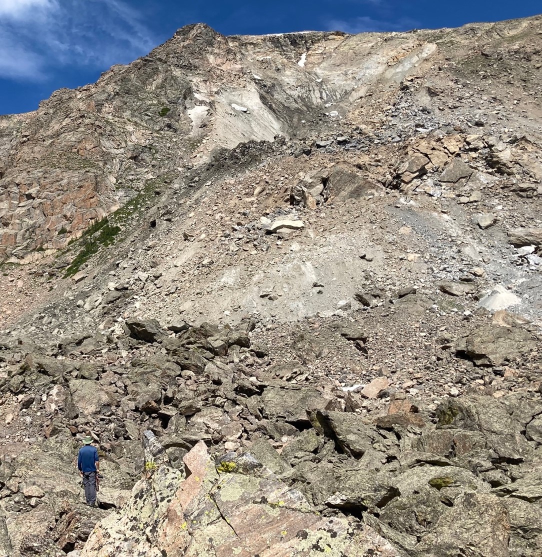
Photo credit USGS/K.Allstadt
Abstract: On 28 June 2022, ~2 million cubic meters of ice-rich debris mobilized from the southeast flank of Hallett Peak in Rocky Mountain National Park. The material slid rapidly for about 245 m into Chaos Canyon, a popular bouldering destination in the park. The slide stopped when it reached a deposit composed of massive boulders filling the valley floor that has been previously mapped as a relict rock glacier. Several climbers were bouldering near the toe of the landslide when it occurred. The group narrowly escaped and caught parts of the event on video, resulting in substantial nationwide media coverage. In this talk, I will detail a multifaceted investigation in which we used eyewitness accounts, field and remote sensing techniques, historic climate data, and seismic recordings to unravel the mysteries of this unusual landslide sequence and the events leading up to it. Direct observations of melting blocks of icy debris in the landslide deposits, coupled with decades of slope deformation patterns correlated with warming temperatures, strongly suggest permafrost degradation was a major contributing factor.
The full study is publicly available here:
The 2022 Chaos Canyon landslide in Colorado: Insights revealed by seismic analysis, field investigations, and remote sensing
Short video of the Chaos Canyon rock slide on CBS Channel 7:
https://www.cbsnews.com/colorado/news/usgs-terrain-moving-two-decades-before-rmnps-chaos-canyon-rock-slide
In the window that opens, scroll down until you see
VIDEO Rock slide closes Chaos Canyon area in Rocky Mountain National Park (2022)
Click on it. There will be an add and the news clip may come up with the sound muted.
Biography: Kate Allstadt has been a Research Geophysicist at the USGS Geologic Hazards Science Center in Golden, CO since 2015. Kate conducts multidisciplinary approaches, commonly incorporating seismic and geophysical techniques, to study landslide, earthquake, and volcano hazards. She currently focuses on earthquake-triggered ground failure, near-real-time earthquake impacts, seismic monitoring of debris flows and lahars, and studies of massive rapid landslides using seismic methods and numerical modeling. Kate completed her PhD in Seismology at University of Washington in 2013 and her MS in Engineering Seismology jointly at the Université Joseph Fourier, Grenoble, France and ROSE School, Pavia, Italy.
View Zoom Recording of 2022 Chaos Canyon landslide in Rocky Mountain National Park
Watching this video is best in full screen. (It may sharpen up images.)
No passcode is needed to access this recording. Just click on the video.
Duration: 01:19:14
DISCLAIMER and FAIR-USE STATEMENT: The following Zoom-meeting recording contains content that expresses the opinions, viewpoints, and conclusions of the speakers and does not necessarily reflect the views, policies, or endorsements of the Colorado Scientific Society. This recording is made available to the public for general information and educational purposes only and is not intended to be used for profit. Any use of copyrighted material included therein for other purposes must obtain express written permission from the author.
=
CSS April Meeting and Emmons Lecture
Tales from the Field:
Using Modern Earth to Assess Life on Ancient Mars
Thursday, April 18, 2024
Brian Hynek, Department of Geological Sciences and Laboratory for Atmospheric and Space Physics at the University of Colorado
This meeting was held at Calvary Church Golden.
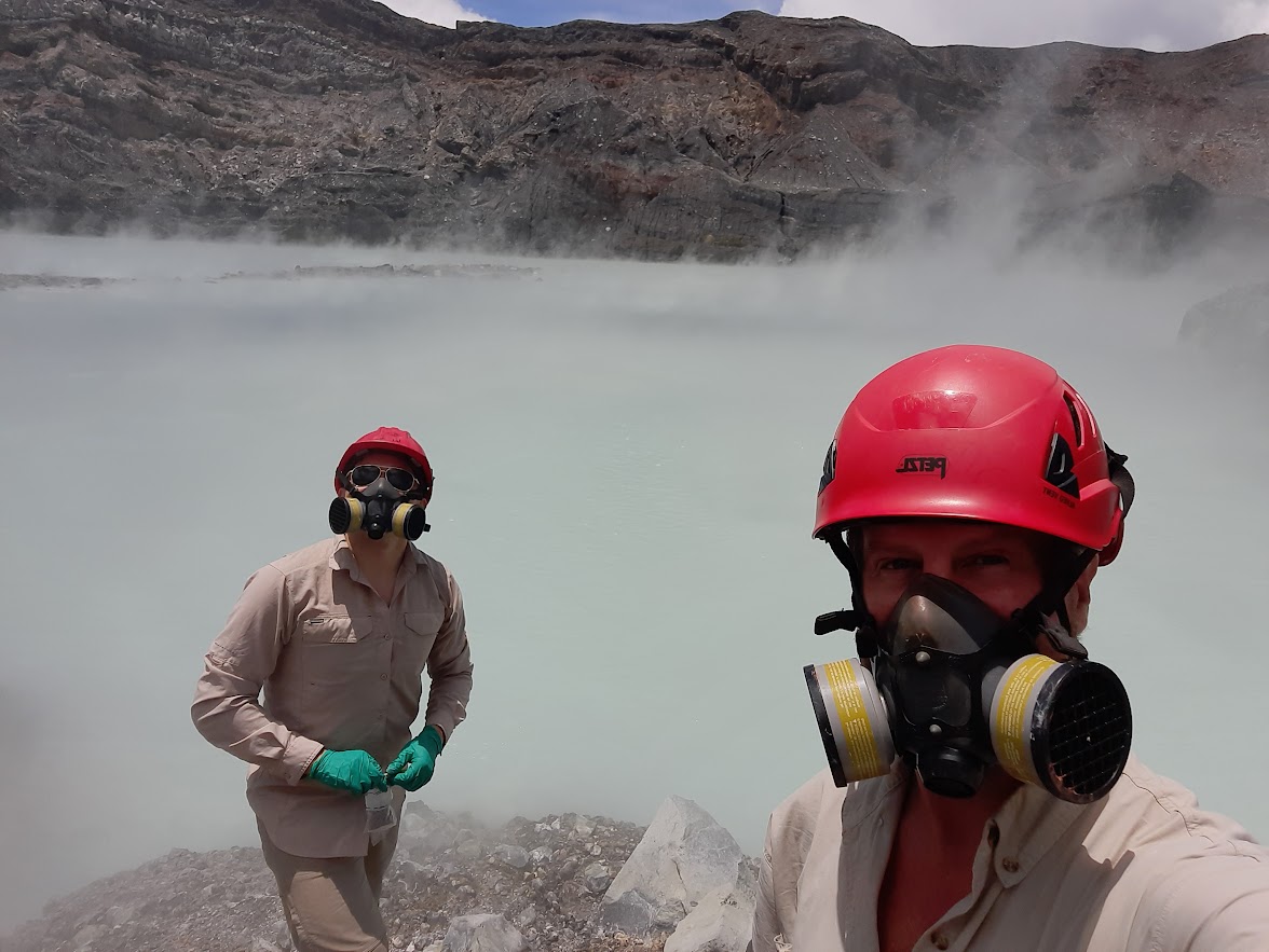
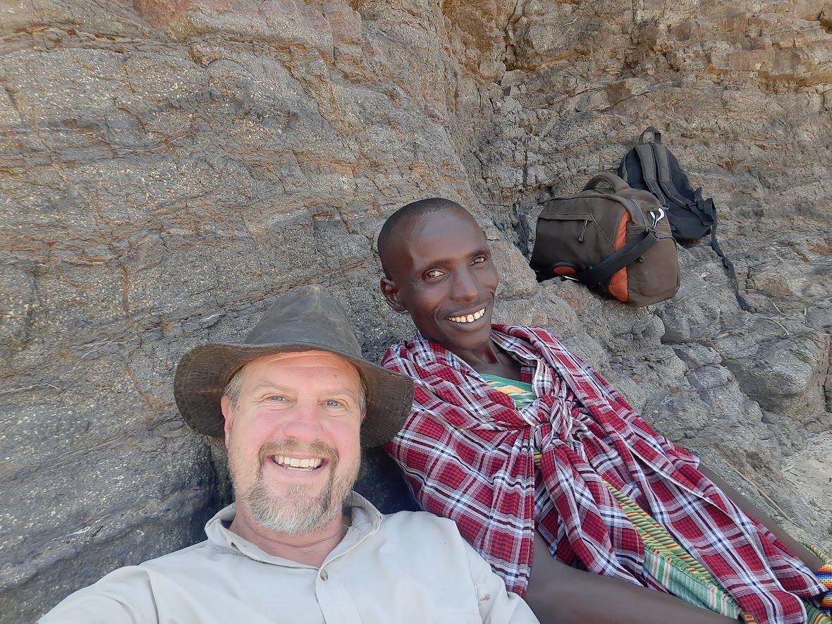
Abstract: After two decades of intense exploration, it is clear that ancient Mars met all the requirements to support microbial life for at least 100s of millions of years. This includes an active hydrologic cycle hosting rivers, lakes, and potentially an ocean. We have also found many “dried up Yellowstones” on Mars and these are crucial habitats since most scientists believe that Earth’s life originated in similar settings and at a similar time in the planet’s history. One way to learn about ancient environments on Mars and the microbes that might have lived there is to study analogous environments on modern Earth. I will talk about some of my recent work from around the world that have detailed some of Earth’s most extreme environments including expeditions to the world’s tallest active volcano, hypersaline alkaline lakes in Tanzania, steaming lava fields in Iceland, boiling acid lakes in Costa Rica, and high-altitude salty lagoons in the high Argentinian desert. Remarkably, most all of these extreme settings host microbial ecosystems. I will discuss our current understanding of ancient Mars and how Earth life’s remarkable resiliency makes the likelihood of past microbial life on Mars quite likely.
A unique ecosystem in an inhospitable desert
Deep within Argentina’s Puna de Atacama, a desert more than 12,000 feet above sea level, a previously undocumented ecosystem could provide scientists with a window to life 3.5 billion years ago. These lagoons surrounded by salt flats are home to microbial communities called stromatolites, which grow alongside minerals to create unusual rock formations over time.
CU Media put together a nice drone video montage that you can view from here:
https://vimeo.com/891536538/268ef5428f?share=copy
Bio: Dr. Brian M. Hynek is Professor in the Department of Geological Sciences and Laboratory for Atmospheric and Space Physics at the University of Colorado Boulder. He has spent the last 25 years studying Mars and its potential to host past life. Brian is a world expert on the study of modern terrestrial analogs to understand geological processes that operated on early Mars and the Moon, with recent field-based projects spanning five continents. He has worked extensively with NASA, conducting mission simulations in preparation for robotic and human exploration of the Moon and Mars. Brian has published over 80 peer-reviewed scientific papers, multiple book chapters, and hundreds of conference abstracts.
View Zoom recording of Using Modern Earth to Assess Life on Ancient Mars
Watching this video is best in full screen. (It may sharpen up images.)
No passcode is needed to access this recording. Just click on the video.
Duration: 01:05:52
DISCLAIMER and FAIR-USE STATEMENT: The following Zoom-meeting recording contains content that expresses the opinions, viewpoints, and conclusions of the speakers and does not necessarily reflect the views, policies, or endorsements of the Colorado Scientific Society. This recording is made available to the public for general information and educational purposes only and is not intended to be used for profit. Any use of copyrighted material included therein for other purposes must obtain express written permission from the author.
=
CSS May Meeting
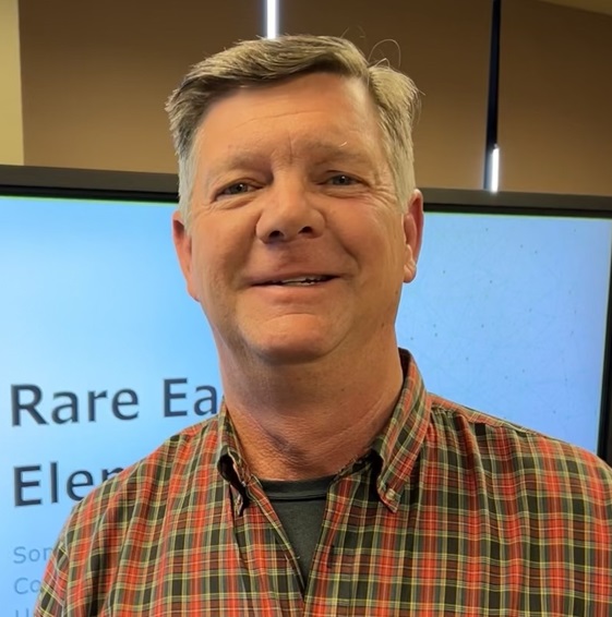
Rare Earth Elements, Some Thoughts for Colorado and The United States
Thursday, May 16, 2024
Peyton Jackson, American Clean Resources Group
This meeting was held at Calvary Church Golden.
Brief description by Peyton Jackson: My presentation will be a discussion and analysis of Rare Earth / Critical Minerals and the Geopolitical landscape. I am a salesperson by trade and want to bring to CSS members an understanding of our Societies’ shortcomings within the supply chain and of course the elephants that are in the room (China, regs, political will, economics etc.).
Biography
Peyton N. Jackson
57 years old, father of 4 grown children, Navy Brat with the typical world traveled Viet Nam era Asia Pacific locations, left coast tour (Long Beach / Coronado) and then later upbringing in Wash DC Suburb of Alexandria VA. Graduate of James Madison University, BA English and History w/Minor in Geology.
Thirty five-year veteran of the financial services and sales industry with experience and expertise in multiple facets of the industry including and not limited to brokerage, investment banking, marketing, sales management and training, corporate structure and regulatory compliance, internal organization, management hierarchy, public relations, investor relations, HR advisory, AdTech and Martech consulting and management, sales force recruitment.
Professional affiliations with AG Edwards & Sons, Morgan Stanley, and various small boutiques and family offices, AdTech agencies with Small Medium Business focus as well as global large cap firms such as Stihl, Bosch, Johnson & Johnson, and others. Experience in sales team creation and management, reorganization, and product shift. Association networking and advisory. Business development lead generation. C-level and BOD level recruitment and vetting.
Significant work assignments and clients in The Mining and mineral exploration sector in Appalachia Coal operations: Kentucky, West Virginia, and Virginia. Hard rock gold in Northern California and extensive consulting for Colorado, Nevado, Arizona and Idaho mining operations in gold, silver, and rare earths, (lanthanides). Specialty focus on geo survey, NT 43-101, SK 1300, core drilling, and regulatory oversite, audit review and validation. MSHA regulatory advisory and compliance. Significant expertise and experience in Smart Mining IP Development, efficient water management, extraction circuits and metallurgical processing including ownership in several process patents.
Specialization in Mining and strategic metals due diligence team building. Sourcing of Contract mining entities, third party evaluators: NT 43-101, SK 1300 reporting. Site assessment, regulatory evaluation. High degree of specialty in expert recruiting for specialized mine project needs including engineers, geologists, miners, chemists, and C level executives. Sophisticated understanding of executive requirements for Publicly traded entities and private to public transitions.
Favorite business clients and professional leaning has involved entities in SMB Service Industries, small innovators, product launch and development, mining, exploration, underground infrastructure, and innovation related to mineralogy, exploration, and extraction. Work herein relates to Governmental liaison (Capitol Hill) and industry associations, major Universities, and foundations as well as small viable operations in the high grade / low volume sectors. Public relations and local government mediation and community relations.
Affiliations Current and Past:
Critical Minerals Institute, Director
BOD Denver Mining Club (BOD)
BOD Colorado School of Mines Museum (Chair BOD)
Member Colorado Scientific Society
Member Denver Regional Geology Society
Member Colorado History
View Zoom recording of Using Modern Earth to Assess Life on Ancient Mars
Watching this video is best in full screen. (It may sharpen up images.)
No passcode is needed to access this recording. Just click on the video.
Duration: 01:00:06
DISCLAIMER and FAIR-USE STATEMENT: The following Zoom-meeting recording contains content that expresses the opinions, viewpoints, and conclusions of the speakers and does not necessarily reflect the views, policies, or endorsements of the Colorado Scientific Society. This recording is made available to the public for general information and educational purposes only and is not intended to be used for profit. Any use of copyrighted material included therein for other purposes must obtain express written permission from the author.
=
Colorado Scientific Society Past Presidents’ Dinner and Program
What do two geologists know about pandemics?
Economic cascades, tipping points, and the costs of a business-as-usual approach to COVID-19
Thursday, September 19, 2024
David Goodwin, Denison University and Peter Roopnarine, California Academy of Sciences
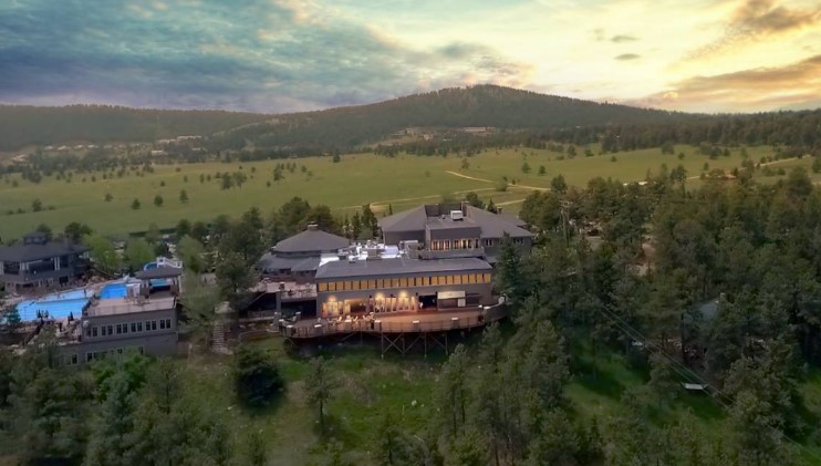
The Dinner and presentation was at the Mount Vernon Canyon Club.
What do two geologists know about pandemics?
Economic cascades, tipping points, and the costs of a business-as-usual approach to COVID-19
David Goodwin, Denison University and Peter Roopnarine, California Academy of Sciences
Abstract: Both natural and human systems rely on complex networks of exchange. In natural systems, exchanges involve the transfer of energy (i.e., ecology), whereas anthropogenic systems are based on exchanges of goods, services, and currency (economy). Despite differences in components (plants and animals versus humans) and scope (ecosystems versus economies), both types of networks are sensitive to perturbations. Disruptions, whether natural or anthropogenic, are linked by basic thermodynamic principles that unite ecological and economic theory.
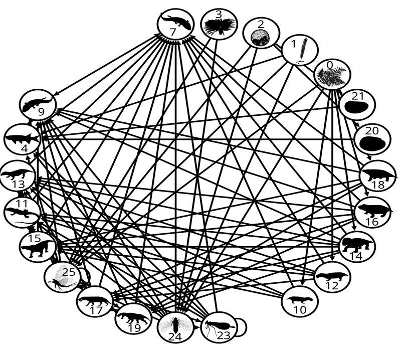
Plagues and pandemics are inevitable; they have impacted human cultures for thousands of years. Examples include plagues of the Roman Empire, the Black Death, disease among indigenous peoples spurred by colonization, and the recent COVID-19 pandemic. Plagues also closely parallel mass extinctions in some respects. In each case, they are linked by their ability to radically disrupt complex networks and force the development of novel, and often revolutionary, reorganization of ecological
and socioeconomic structures.
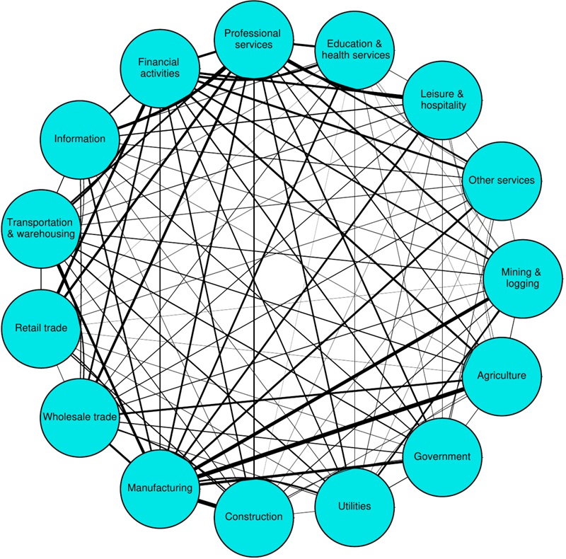
In this presentation we illustrate the utility of network models originally designed to simulate mass extinction dynamics, to understand counterfactual dynamics of the recent COVID-19 pandemic in which the economy remained open and active during the pandemic’s first year, thereby providing a baseline against which to compare actual levels of job losses. We developed an economic-epidemiological mathematical model to simulate outbreaks of COVID-19 in ten large socio-economic regions of California. Results show that job losses are an unavoidable consequence of the pandemic, because even in an open economy, debilitating illness and death among workers drive economic downturns. Although job losses in the counterfactual scenario were predicted to be less than those actually experienced, the cost would have been the additional death or disablement of tens of thousands of workers. Furthermore, whereas an open economy would have favored populous, services-oriented coastal areas in terms of employment, the opposite would have been true of smaller inland areas and those with relatively larger agricultural sectors. Thus, in addition to the greater cost in lives, the benefits of maintaining economic activity would have been unequally distributed, exacerbating other realized social inequities of the disease’s impact. Ultimately, the COVID pandemic revealed not only vulnerabilities in health systems, but also in economic and decision-making systems.
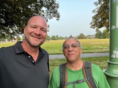
Peter Roopnarine is the Curator of Geology at the California Academy of Sciences in San Francisco. He has worked at the Academy since 1999. Peter holds degrees in Biology (BS; Mount Allison University), Oceanography (MS; Nova Southeastern University), and Geology (PhD; University of California, Davis). His research is transdisciplinary, with a focus on understanding the evolution of ecological systems, emphasizing paleontology, deep time, and perspectives on complexity dynamics. Much of Peter’s current research centers around global change biology, and how we can further develop our understanding of Earth’s past ecosystems to better forecast our future.
David Goodwin is a Professor of Earth & Environmental Sciences at Denison University in Granville, OH. David joined the faculty in 2003. He has degrees in Natural and Environmental Science (BS: Lyndon State College), Geology (MS; University of Montana), and Geoscience (PhD; University of Arizona). Dave’s research focuses on documenting and interpreting records of environmental variation archived in the hard parts of modern and fossil organisms. This is accomplished primarily through calibration of environmental conditions with skeletal archives: specifically, biogeochemical variations and patterns of shell growth.
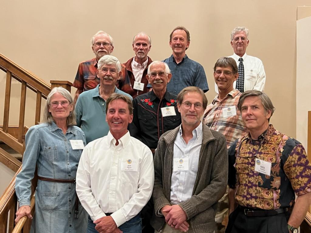
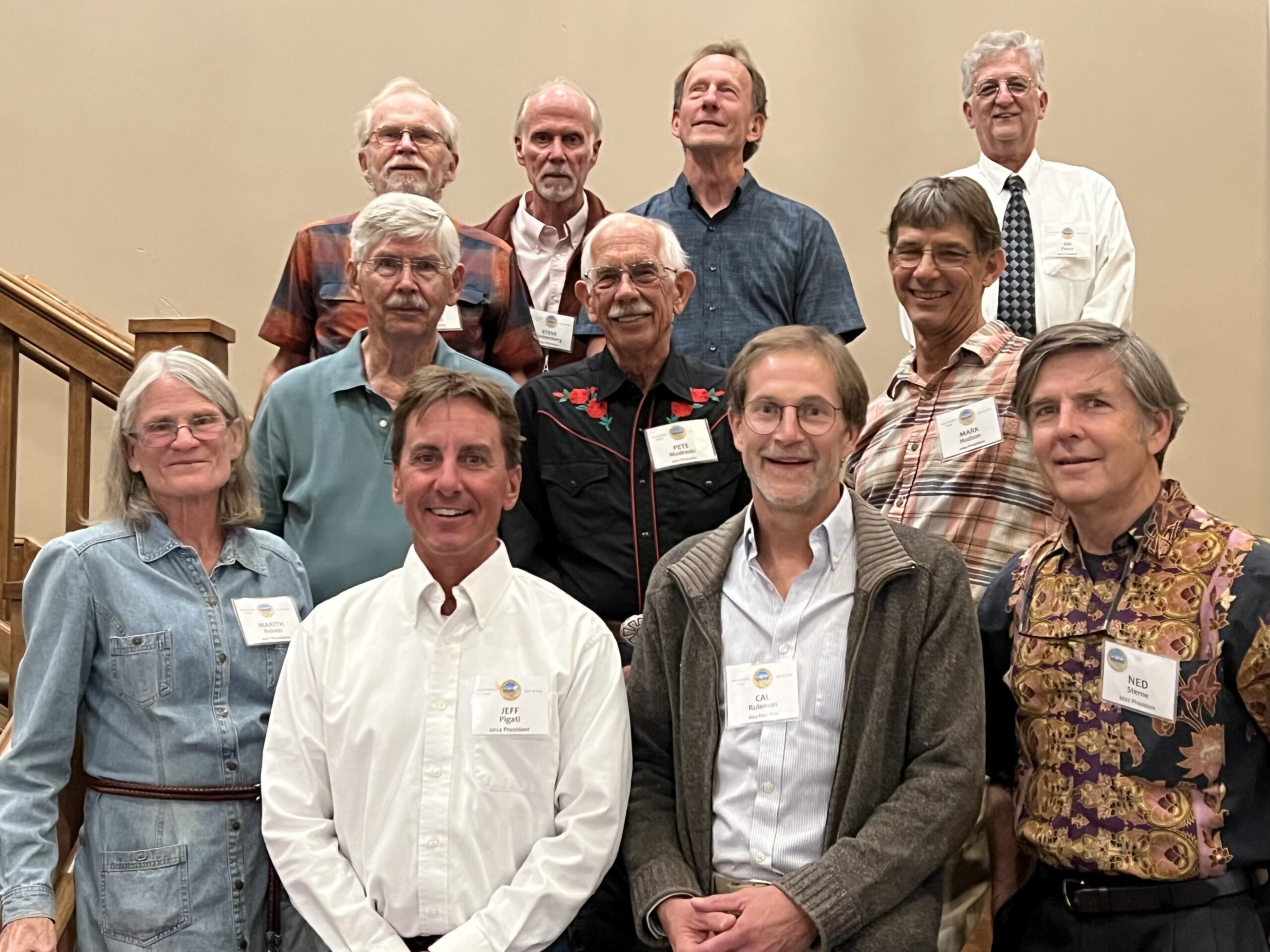
from bottom left: Marith Reheis 2017, Jeff Pigati 2024, Cal Ruleman 2023, Ned Sterne 2021, Bill Nesse 2007, Pete Modreski 2012, Mark Hudson 2000, Karl Kellogg 1997, Steve Sonnenberg 1992, Scott Minor 2010, Jim Paces 2020
Colorado Scientific Society Past Presidents at 2024_Past Presidents Dinner in more detail.
View Zoom recording of What do two geologists know about pandemics?
Economic cascades, tipping points, and the costs of a business-as-usual approach to COVID-19
Watching this video is best in full screen. (It may sharpen up images.)
No passcode is needed to access this recording. Just click on the video.
Duration: 01:28:43
DISCLAIMER and FAIR-USE STATEMENT: The following Zoom-meeting recording contains content that expresses the opinions, viewpoints, and conclusions of the speakers and does not necessarily reflect the views, policies, or endorsements of the Colorado Scientific Society. This recording is made available to the public for general information and educational purposes only and is not intended to be used for profit. Any use of copyrighted material included therein for other purposes must obtain express written permission from the author.
=
CSS October Meeting
Retreat, Recovery, and Subglacial Radiocarbon: Untangling past [in]stability of the West Antarctic Ice Sheet
Thursday, October 24, 2024
Ryan Venturelli, Department of Geology and Geological Engineering at School of Mines
This meeting was held at Calvary Church Golden.
Abstract: Reconstructions of past ice sheet behavior enable us to refine physical models that predict how much, how fast, and from where Antarctic ice mass loss will contribute to future sea level rise. Geological constraints on paleo ice thickness obtained from above the modern ice surface (e.g., exposure age data from deglaciated nunataks) and on paleo ice extent obtained outboard from modern margins (e.g., sediment core and geomorphic data from the ice-free continental shelf) have served as the primary tools to decipher the topology of the Antarctic Ice Sheet from the Last Glacial Maximum to present. Recent efforts to recover sediment and bedrock from beneath grounded ice in Antarctica offer insight into the southernmost extent of grounding line retreat, yielding a more complete view of ice dynamics through the last deglaciation. In this talk, I will present results from recent subglacial access efforts that have provided direct constraints on a less extensive West Antarctic Ice Sheet in the Holocene compared to today. These new constraints on the timing and extent of grounding line retreat prior to the modern observational record allow for a mechanistic understanding of the drivers of marine ice-sheet evolution, subglacial ecosystem processes, and subglacial Antarctica’s role in global biogeochemical cycling. I will conclude by presenting new geochemical and sampling tools under development to enable future work constraining ice-sheet history. By generating this process-to-paleo perspective on the co-evolution of cryospheric, geologic, biologic, and oceanographic systems and combining it with detailed ice-sheet modeling experiments, we can create the context required to reduce uncertainty in sea-level projections on societally relevant timescales.
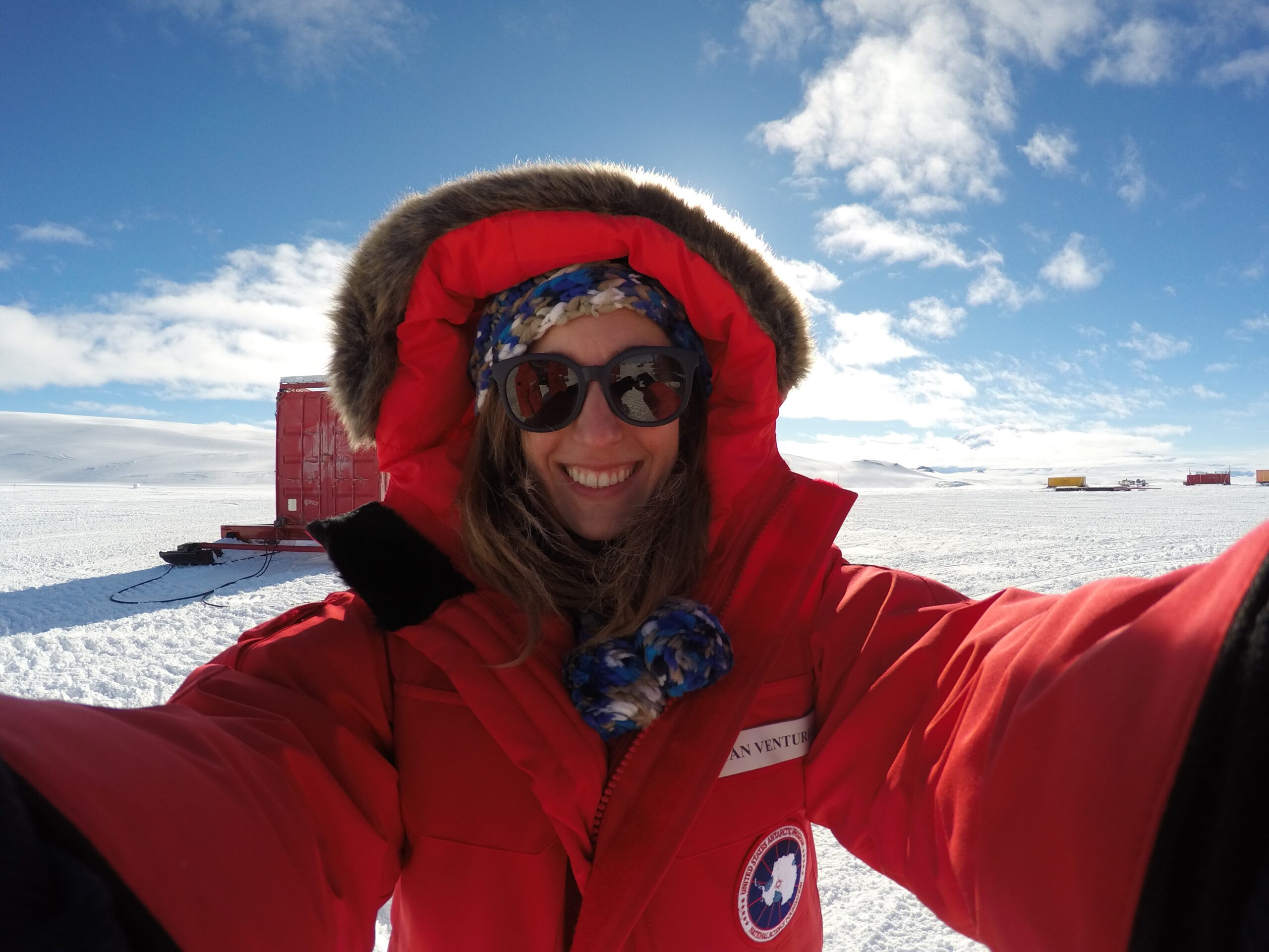
Bio: Dr. Ryan Venturelli is an Assistant Professor in the Department of Geology and Geological Engineering at Colorado School of Mines. Her research group, the Rates and Dates Laboratory, supports undergraduate student researchers, graduate student researchers, and postdoctoral researchers in using isotope geochemistry to reconstruct ice sheet history.
View Zoom recording of Retreat, Recovery, and Subglacial Radiocarbon: Untangling past [in]stability of the West Antarctic Ice Sheet
Watching this video is best in full screen. (It may sharpen up images.)
No passcode is needed to access this recording. Just click on the video.
Duration: 01:01:04
DISCLAIMER and FAIR-USE STATEMENT: The following Zoom-meeting recording contains content that expresses the opinions, viewpoints, and conclusions of the speakers and does not necessarily reflect the views, policies, or endorsements of the Colorado Scientific Society. This recording is made available to the public for general information and educational purposes only and is not intended to be used for profit. Any use of copyrighted material included therein for other purposes must obtain express written permission from the author.
=
CSS November Meeting
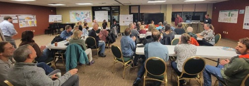
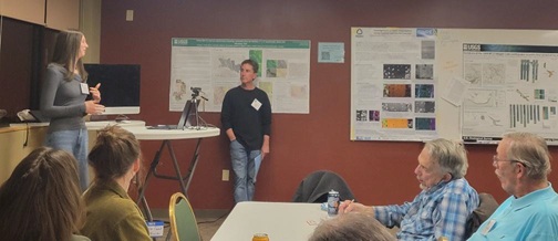
Poster Night for Early Career and Student Earth Scientists
Thursday, November 21, 2024 at 7:00 p.m.
This was a chance for early career and student earth scientists to present their research via a poster and a Lightning Talk (3 minutes) on their research.
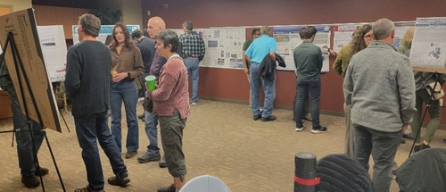
We had pizza with beer and soft drinks for refreshments.
This meeting was held at Calvary Church Golden.
List of Posters and Presenters
Geologic mapping of the Mosca Creek Window at Great Sand Dunes National Park, southern Colorado: New insights into Laramide contraction, Oligocene contact metamorphism and Rio Grande Rift extension
Samantha Malavarca, Colorado State University/USGS
Geologic Map of the Conterminous United States: Pre-Quaternary Bedrock Geology
Bryant Platt, U.S. Geological Survey
Marine process variability in an enigmatic, shelf-isolated sandstone: the Late Turonian Wall Creek-Turner System, WY
Patrick Sullivan, Colorado School of Mines
Decoupling of extreme precipitation from mean annual precipitation during the Paleocene-Eocene Thermal Maximum in the Uinta Basin, UT
Jake Slawson, Colorado School of Mines
Does Smoothing Of Lava Flows From Surface Degradation Correlate With Emplacement Age?
Isaac Pope, Colorado School of Mines
Investigating Solid Oxide Electrolysis Cell (SOEC) Degradation Using Electron Microscopy
Heather Slomski, NREL/Colorado School of Mines
(U-Th)/He geochronology of zircon megacrysts: A new chronometer for dating kimberlite emplacement
Spencer Zeigler, University of Colorado Boulder
Using lidar to improve Quaternary mapping: Examples from the Wallace 1° x 2° quadrangle, Idaho and Montana, USA
Jordan Craft, U.S. Geological Survey
Capturing Cold-Region Stream Water Seasonal Thermal Regimes with an Improved Annual Temperature Cycle Function
Daniel Philippus, Colorado School of Mines
The Nature of Mass Failure Elements in Association with Salt Diapirs: A Case Study in the Thunderhorse Area, Gulf of Mexico Salt Province
Rakan Alghamdi, Colorado School of Mines
Geologic Map Derivatives: From Pen and Paper to Digital Databases
Michael G. Frothingham, U.S. Geological Survey: Geosciences and Environmental Change Science Center
Sedimentology & Geochronology of the Upper Cretaceous Lachman Crags (Beta) Member of the Santa Marta Formation on James Ross Island, Antarctica
Zoë Bowers, Colorado School of Mines
Underground Coal Fire Detection through Multispectral Analysis, Terrain Subsidence Assessment, and Geospatial Analytics: Marshall and Lewis Coal Fires
Jessica Hiatt, Colorado School of Mines/Tetra Tech
Variations of the 1959 M7.3 Hebgen Lake earthquake record in four proximal lacustrine systems, west Yellowstone region, USA
Sylvia Nicovich, U.S. Geological Survey
View Zoom recording of Colorado Scientific Society 2024 Poster Night
No passcode is needed to access this recording. Just click on the video.
Duration: 00:29:48
Watching this video is best in full screen. (It may sharpen up images.)
DISCLAIMER and FAIR-USE STATEMENT: The following Zoom-meeting recording contains content that expresses the opinions, viewpoints, and conclusions of the speakers and does not necessarily reflect the views, policies, or endorsements of the Colorado Scientific Society. This recording is made available to the public for general information and educational purposes only and is not intended to be used for profit. Any use of copyrighted material included therein for other purposes must obtain express written permission from the author.
=
CSS December Holiday Potluck, Meeting and President’s Address
Quaternary Hydroclimate Records of Spring Ecosystems
Tuesday, December 3, 2024
Kathleen Springer and Jeff Pigati, U.S. Geological Survey
In-person Potluck Dinner at New Terrain Brewing Company for 50 people, or Join us on Zoom
Colorado Scientific Society Annual Business Meeting
2024 Best Paper Award
2024 CSS Treasurer’s Report by James Paces
Election of new Colorado Scientific Society Councilors
Councilors:
- 2023-2025 term continues: Michael Frothingham
- 2023-2025 term continues: Kassandra Lindsey
- 2024-2026 term continues: Nate Rogers
- 2024-2026 term continues: Susan Slomski
- 2025-2027 term, proposed candidate, Lisa Rukstales
- 2025-2027 term, proposed candidate, Adam Hudson
Presentation of the Silver Gavel from the outgoing President of the Colorado Scientific Society to the incoming CSS President
See Silver Gavel and page 7 of the History of the Colorado Scientific Society for details.
Election for new Colorado Scientific Society President-Elect
Quaternary Hydroclimate Records of Spring Ecosystems
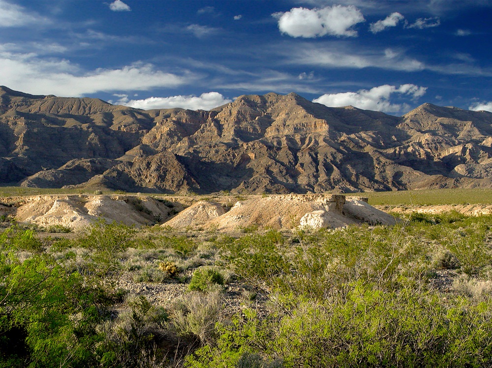
Abstract: Desert springs and wetlands are among the most biologically productive, diverse, and fragile ecosystems on Earth. They are home to thousands of rare, endemic, and endangered plants and animals and reflect the availability and health of emergent groundwater. Despite the ecological importance of these wetlands, our knowledge of how they might respond to predicted future climate change is limited. USGS Research Geologists Jeff Pigati and Kathleen Springer seek to understand how springs and wetlands in the Mojave Desert responded to past abrupt warming events, which are direct analogs for future conditions. To accomplish this, they reconstruct the hydrologic history of ancient spring ecosystems and establish patterns and rates of change in groundwater availability by investigating paleowetland deposits dating to the late Pleistocene and Holocene. Their results provide critical information for developing strategies aimed at managing these fragile ecosystems and mitigating the effects of climate change in the arid lands of the American Southwest. Pigati and Springer will also provide an update of their work on ancient human footprints in White Sands National Park and their link to abrupt climate change.
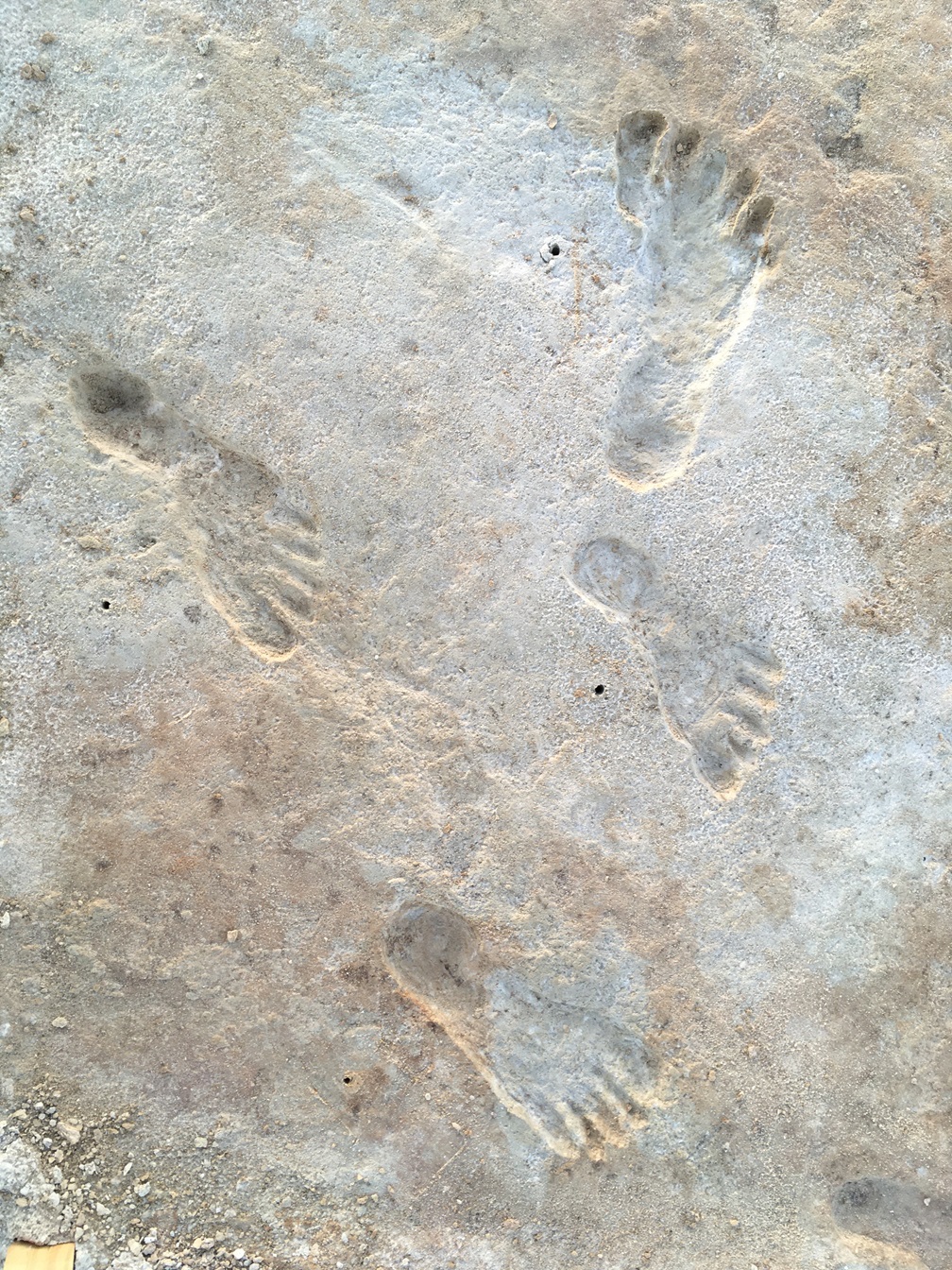
See The White Sands footprints — humans in North America 23,000 years ago for more details.
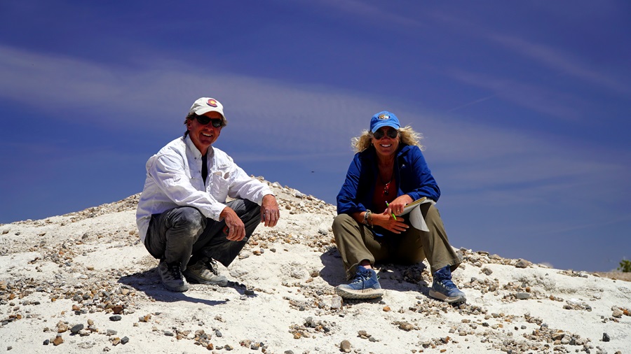
Kathleen Springer and Jeff Pigati are research geologists with the U.S. Geological Survey’s Geosciences and Environmental Change Science Center in Denver, Colorado. They are co-PIs of the Quaternary Hydroclimate Records of Spring Ecosystems project in which they investigate geologic deposits associated with springs and desert wetlands to determine how these fragile ecosystems responded to past episodes of abrupt climate change. Their work has focused on developing stratigraphic and chronologic frameworks from paleowetland deposits throughout the Mojave Desert and southern Great Basin, which then serve as hydroclimate roadmaps for these ecosystems. They have established that spring and desert wetland ecosystems are incredibly sensitive to changes in climate at multi-decadal to centennial timescales and that they expanded and contracted in near lockstep with changes in climate recorded in the Greenland ice cores over the past 40,000 years. These sensitive groundwater dependent ecosystems allow them to evaluate the effects of abrupt warming events on terrestrial landscapes including Dansgaard-Oeschger (D-O) events, which are analogous to projected future warming in terms of their magnitude, timing, and sphere of influence. Notably, their results demonstrate that springs and wetlands in the southwestern U.S. contracted or disappeared altogether during D-O events due to rapid groundwater lowering associated with these megadrought episodes. Their findings have tremendous implications for extant springs in arid environments.
Their research is largely conducted on federal lands administered by the National Park Service, including Tule Springs Fossil Beds National Monument, Death Valley National Park, Joshua Tree National Park, Channel Islands National Park, and the Mojave National Preserve. In White Sands National Park, Kathleen and Jeff have combined detailed stratigraphic analyses and cutting-edge dating techniques with their intimate understanding of past climate events to establish the age, geologic context, and paleoenvironmental setting of ancient human footprints recently discovered there – including the link to abrupt climate change that allowed the human and megafaunal footprints and trackways to be created and preserved. Their results have upended traditional models regarding the peopling of the Americas and fundamentally change the very foundation of North American archaeology.
View Zoom recording of CSS 2024 December mtg. Quaternary Hydroclimate Records of Spring Ecosystems
Watching this video is best in full screen. (It may sharpen up images.)
No passcode is needed to access this recording. Just click on the video.
Duration: 01:18:21
DISCLAIMER and FAIR-USE STATEMENT: The following Zoom-meeting recording contains content that expresses the opinions, viewpoints, and conclusions of the speakers and does not necessarily reflect the views, policies, or endorsements of the Colorado Scientific Society. This recording is made available to the public for general information and educational purposes only and is not intended to be used for profit. Any use of copyrighted material included therein for other purposes must obtain express written permission from the author.