2022 “No Moss” field trip: Huntsman Gulch
Sunday, November 6, 2022
Trip Leader: Lew Kleinhans, Consulting Geologist,
with Pete Modreski, US Geological Survey; Ned Sterne, Consulting Geologist, and Cal Ruleman, US Geological Survey
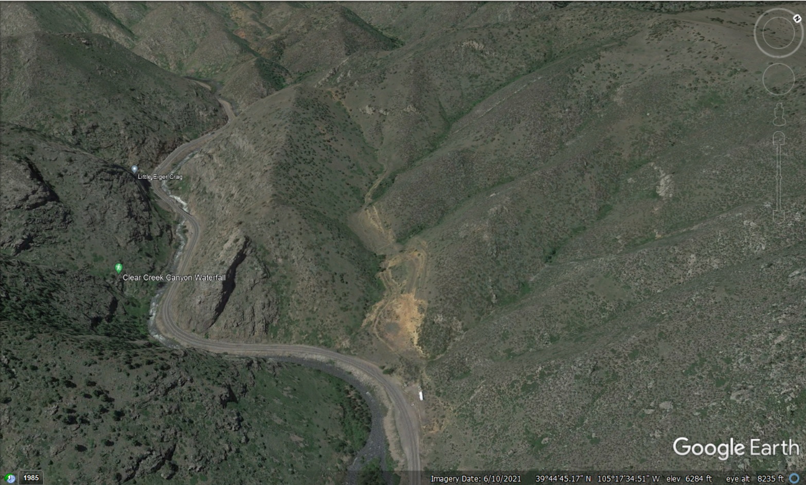
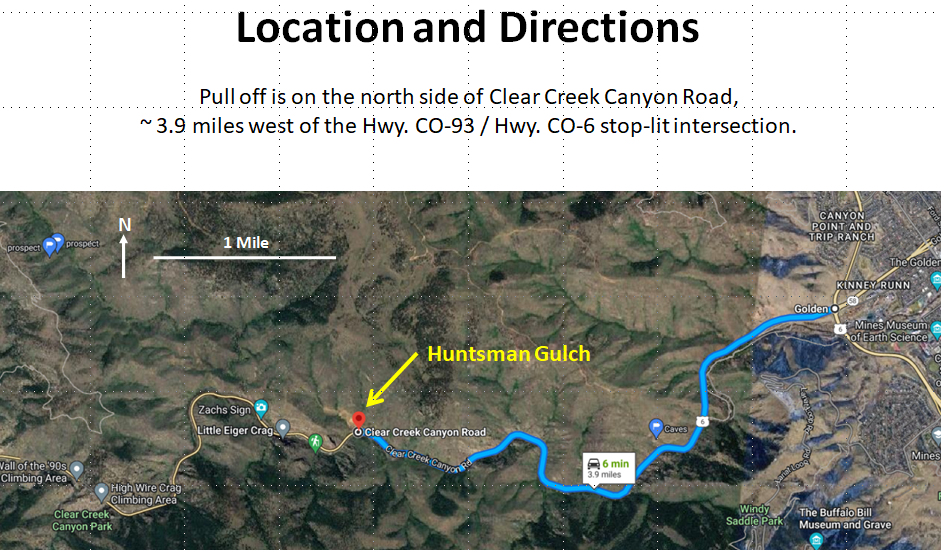
Huntsman Gulch is on the north side of US 6 in Clear Creek Canyon, about 3.9 miles west of the intersection of US 6 with CO 93 and CO 58 west of Golden.
Location of Huntsman Gulch on Google Maps. The map will be centered on the parking for Huntsman Gulch. (Huntsman Gulch is not labeled on Google Maps.)

Time: Meet at 8 am in Huntsman Gulch parking area, in front of rock barricade on north side of US 6 in Clear Creek Canyon.

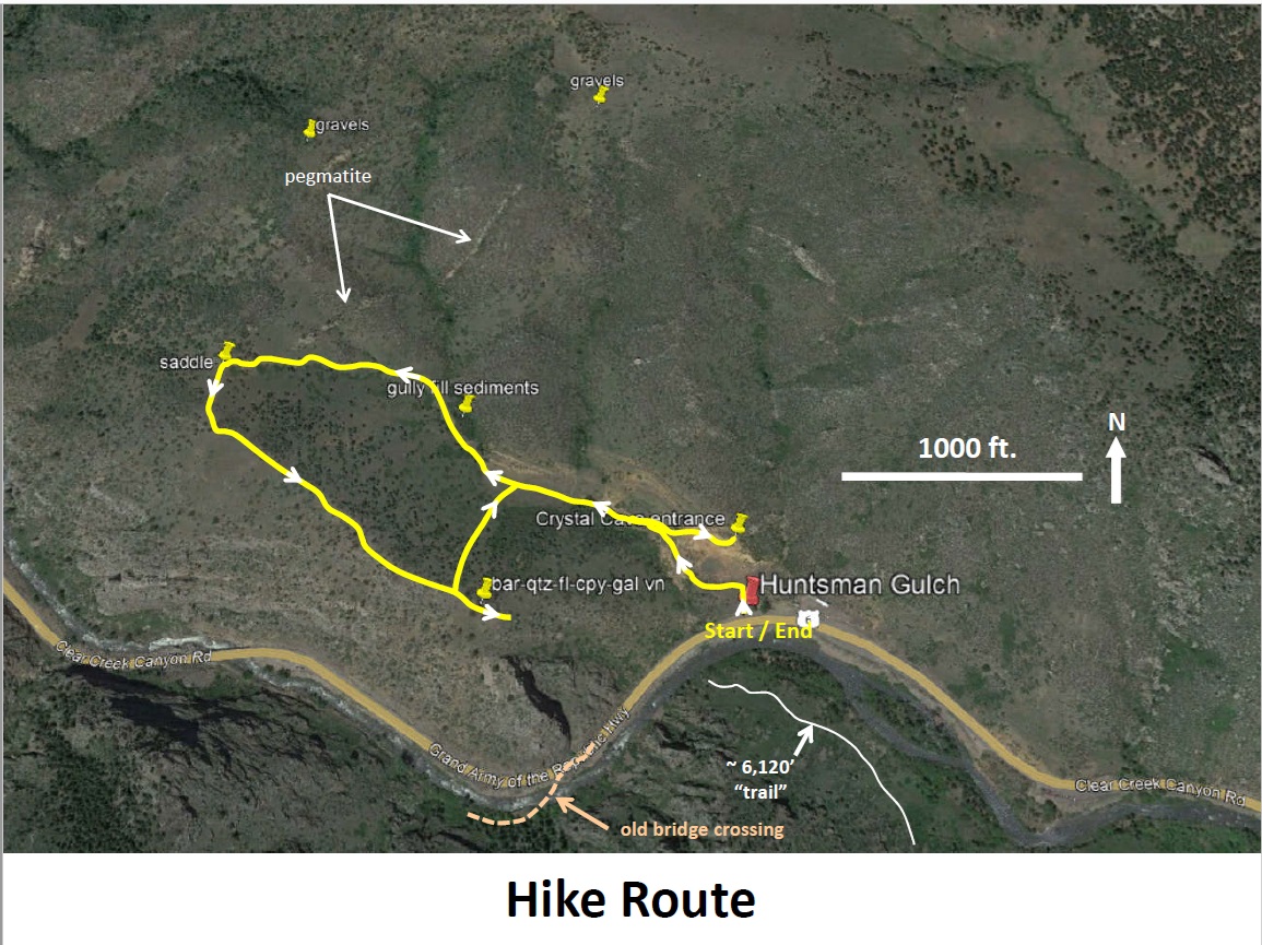
Plan: This hike will about a three-hour loop hike up the Huntsman Gulch trail to the saddle overlooking Guy Gulch; and then back along the ridge above Clear Creek. Foci will include the fault splay off the Junction Ranch fault, including large boulders in the parking lot, old quarry exposure, and location of Crystal Cave; “recent” sediments below Huntsman Gulch fork above quarry; cross-cutting pegmatite; unconsolidated gravels on slopes / ridge to the north (we won’t hike here); view from saddle overlooking Guy Gulch; ridge-top hike back to barite-base-metal prospect above quarry; and back down to trail.
Note: Hike involves about 700 feet of elevation gain on the partly steep trail with some loose gravel; and finally, an about 400-foot drop back to the trail on a steep, largely trail-free, vegetated slope.
See Huntsman Gulch No Moss Field Trip Supplement (20 MB) for more details.


