Geology of the Upper Arkansas Valley
CSS 2018 Fall Field Trip
September 15-16, 2018
Led by Karl Kellogg, Cal Ruleman, and Scott Minor, USGS
Upper Arkansas Valley Field Trip Announcement and
CSS Upper Arkansas field trip Details, Sept. 15 and 16, 2018
The CSS Upper Arkansas Field Trip Guide, 2018-Sept. covers both days.
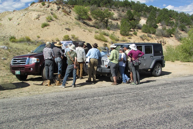
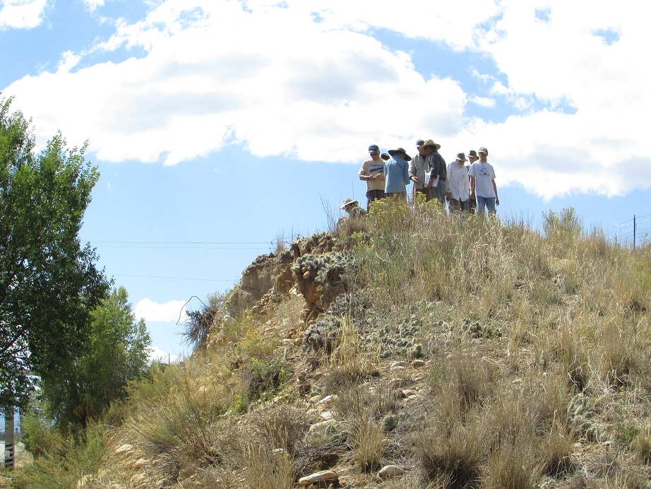
We spent Two Days examining diverse Geologic features of the beautiful Upper Arkansas Valley:
- Proterozoic sedimentation, volcanism, and plutonism
- Laramide Orogeny structural features
- Northern Rio Grande Rift and Upper Arkansas Valley magmatism, tectonism, and sedimentation
- Pre-rift intrusive rocks and Oligocene and Eocene volcanic rocks
- Glacial history and deposits including catastrophic outwash floods
- Mineral deposits (gold, silver, copper, zinc, lead, fluorspar, and others)
- Landslide, alluvial, mass-movement, eolian, and wetland deposits
There was something for everyone.
CSS Upper Arkansas field trip Details, Sept. 15 and 16, 2018 is a short description of the geologic features and processes we examined.
The CSS Upper_Arkansas_Field Trip Guide, 2018-Sept covers all stops.
The group spent one night at motel and camping in Buena Vista. Travel was by personal car-pooling.
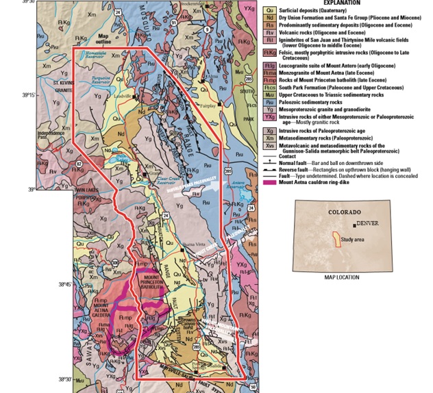
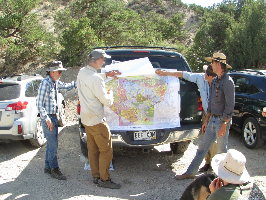
From Kellogg, K.S., Shroba, R.R., Ruleman, C.A., Bohannon, R.G., McIntosh, W.C., Premo, W.R., Cosca, M.A., Moscati, R.J.,and Brandt, T.R., 2017, Geologic map of the upper Arkansas River valley region, north-central Colorado: U.S. Geological Survey Scientific Investigations Map 3382, pamphlet 70 p., 2 sheets, scale 1:50,000.
Get the full map at https://doi.org/10.3133/sim3382
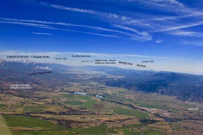
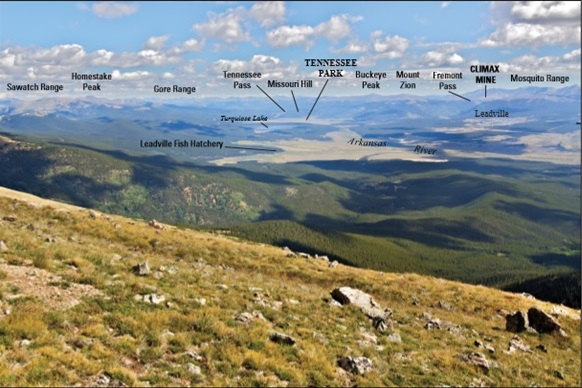
View to the North from above Methodist Mountain and the northern Sangre de Christo Mountains/Poncha Block of Minor and others (2018), showing major geographic and geologic features.
The 2012 field trip to see evidence of Catastrophic Glacial Outburst Floods on the Upper Arkansas has additional information.
Thanks to Norma Cady for these field trip photos.